

REAL ESTATE DRONE PHOTOGRAPHY FOR FLORIDA LISTINGS
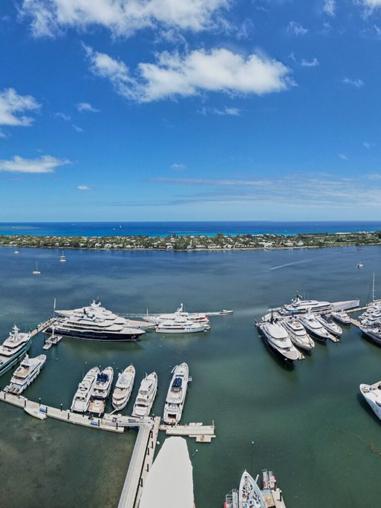
Aerial real estate photography in Florida sells the part of a property a ground camera cannot reach: the lot lines, the water frontage, the golf course behind the fence, the walk to the beach. Buyers scrolling a listing decide in seconds, and an aerial establishing shot is what makes them stop.
We shoot listings for agents, brokerages, builders and property owners in every major Florida metro, including Orlando, Kissimmee, Tampa, St. Petersburg, Sarasota, Fort Myers, Naples, Jacksonville, West Palm Beach, Fort Lauderdale and Miami. Every flight is run by an FAA Part 107 licensed remote pilot on registered, insured aircraft, and where a property sits inside controlled airspace we secure authorization before the shoot rather than on the day.
You get edited, listing ready stills sized for the MLS, Zillow, print and social. Most residential shoots are back in your hands within 24 to 48 hours, because a listing that goes live Friday cannot wait until the following week for photos. If the property also needs motion, our aerial videography in Florida pairs with the same visit, and larger land holdings often call for drone mapping and 3D modeling.
WHAT YOU GET
Listing Ready Stills
Edited high resolution aerials, color corrected and cropped for MLS, Zillow and print. No watermarks, full marketing rights.
Ground and Air Together
Aerial establishing shots paired with exterior and interior ground photography, so one visit covers the whole listing.
Lot Lines and Location
Overhead frames that show acreage, water frontage, road access and what actually surrounds the property.
24 to 48 Hour Delivery
Files delivered by download link within one to two business days on standard residential shoots.
WHAT IS AERIAL REAL ESTATE PHOTOGRAPHY?
Aerial real estate photography is listing photography shot from above, almost always by drone, anywhere from a few dozen feet up to the 400 foot limit for commercial drone flights. Ground photos show what a home looks like. Aerials show where it is: how the lot sits, what is next door, and how far it is to the water, the beach or the golf course.
In Florida that context often decides the sale. A buyer relocating from out of state cannot drive the neighborhood before booking a showing, so the listing has to do it for them. These are the listings where aerials do the most work.
Waterfront and Canal Homes
Show the dock, the seawall and the route to open water. On a canal, river or Intracoastal listing, that route is often what the buyer is paying for, and it never fits in a ground level frame.
Acreage, Land and Commercial
Show boundaries, road frontage, access and what sits next door. On vacant land, ranch property and commercial sites, the setting matters more than the building, and an overhead frame answers the questions a buyer would otherwise drive out to ask.
Golf, Gated and Beach Communities
Show the fairway behind the lanai, the clubhouse and pool, or the short walk to the sand. Amenities that sit behind or beyond the home are often the reason a buyer chose the community in the first place.
Not every listing needs a flight. A townhome in a tight subdivision may only need one or two aerials, or none at all. Send us the address and we will tell you whether a drone adds anything before you pay for it.
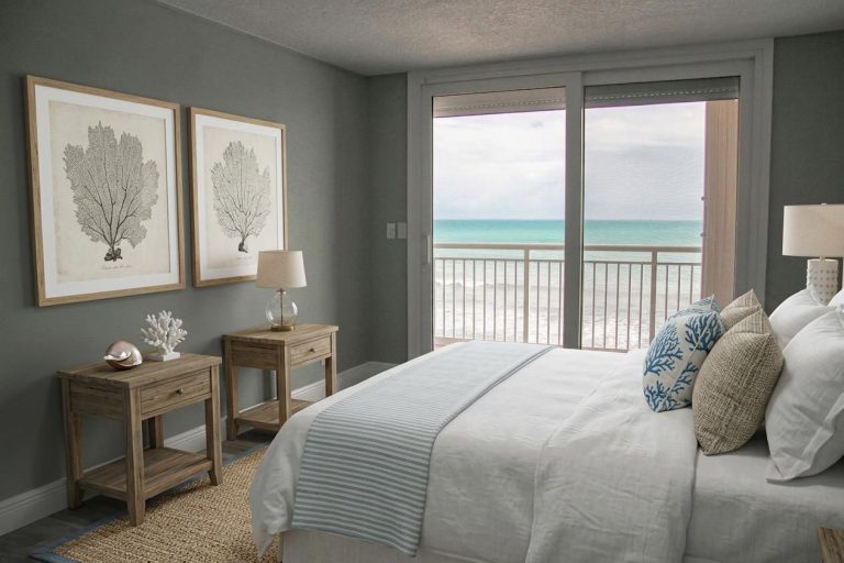
INSIDE THE HOME, TOO
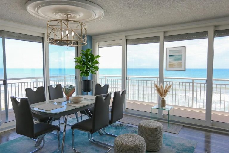
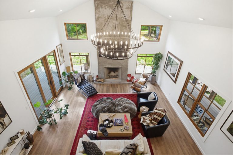
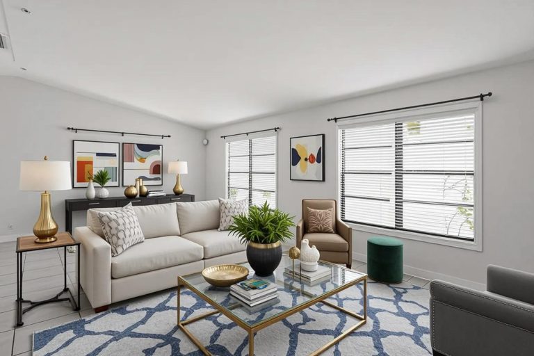
Aerial real estate photography gets a buyer to stop scrolling. What happens next depends on the rooms, which is why we don’t stop at the drone.
We also shoot real estate and home photography inside and out, video, and 360° and 180° photography, so a Florida listing can go live with everything a buyer needs to book a showing. Pair it with your aerials on the same visit and the full set matches in color and light.
Ask us how a complete listing package would work for your next property.
FLORIDA METRO COVERAGE
We travel for real estate drone photography in Florida statewide, from single family listings in Orlando and Kissimmee to waterfront estates in Sarasota, Naples and Fort Lauderdale. Central Florida and the Gulf Coast are closest to base and can usually be booked at short notice. Jacksonville, the Treasure Coast and South Florida are covered with normal lead time. That includes the Treasure Coast from Sebastian and Vero Beach through Port St. Lucie, Stuart, Palm City and Jupiter, inland to Okeechobee, and Palm Bay and Melbourne on the Space Coast.
Central Florida
- Orlando, FL
- Kissimmee, FL
- Lakeland, FL
- Ocala, FL
- Melbourne, FL
- Daytona Beach, FL
- Lake County, FL
- Brevard County, FL
Gulf Coast
- Tampa, FL
- St. Petersburg, FL
- Clearwater, FL
- Sarasota, FL
- Bradenton, FL
- Fort Myers, FL
- Cape Coral, FL
- Naples, FL
Atlantic & South Florida
- Jacksonville, FL
- St. Augustine, FL
- Palm Coast, FL
- Port St. Lucie, FL
- West Palm Beach, FL
- Boca Raton, FL
- Fort Lauderdale, FL
- Miami, FL
Have a Florida listing that needs to move?
RECENT FLORIDA PROJECTS
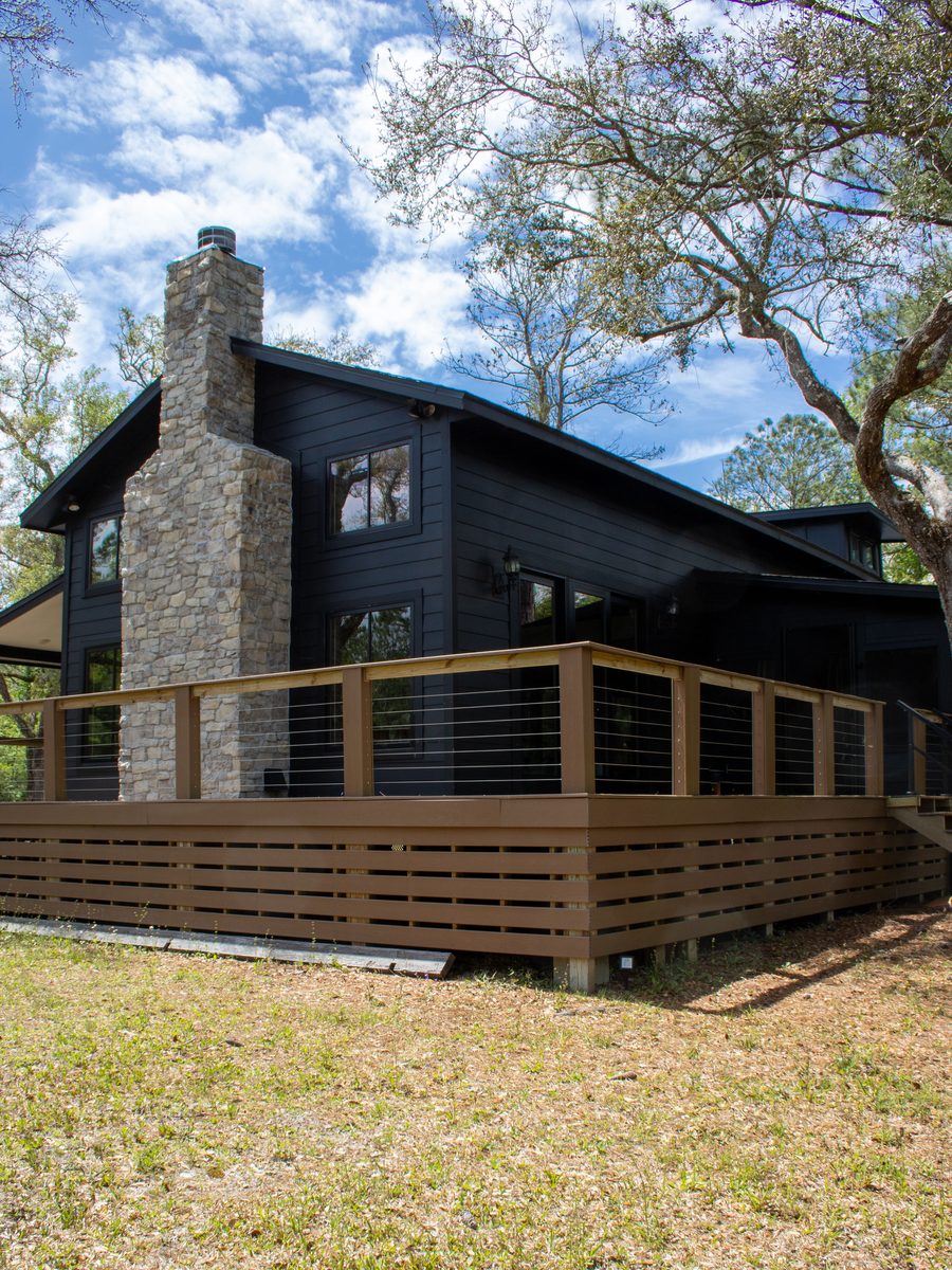
Real Estate
Property Exterior
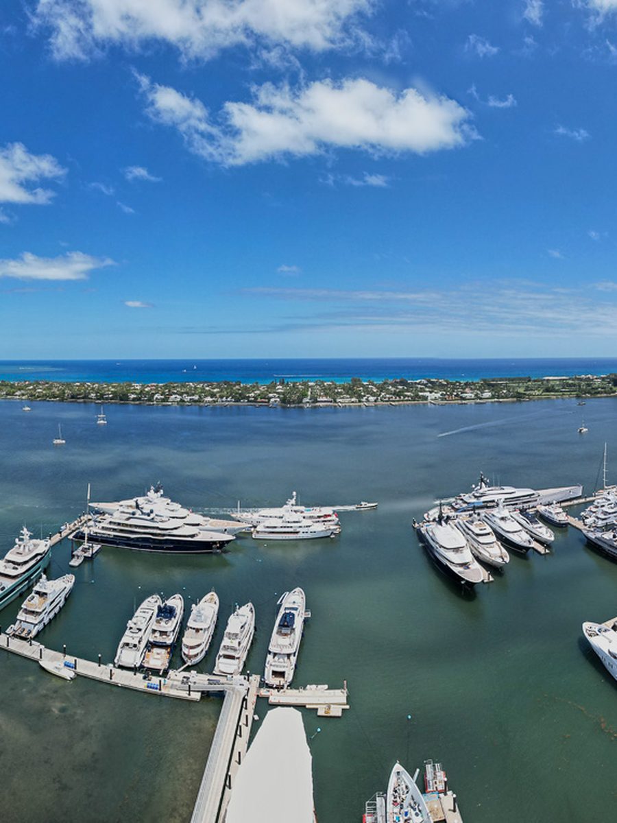
Waterfront
Marina And Waterfront
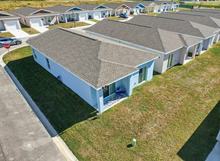
Residential
Highlands County Home
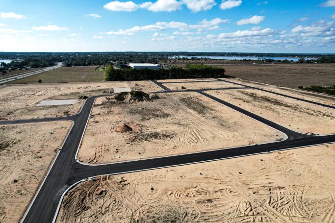
Land
Land And Acreage
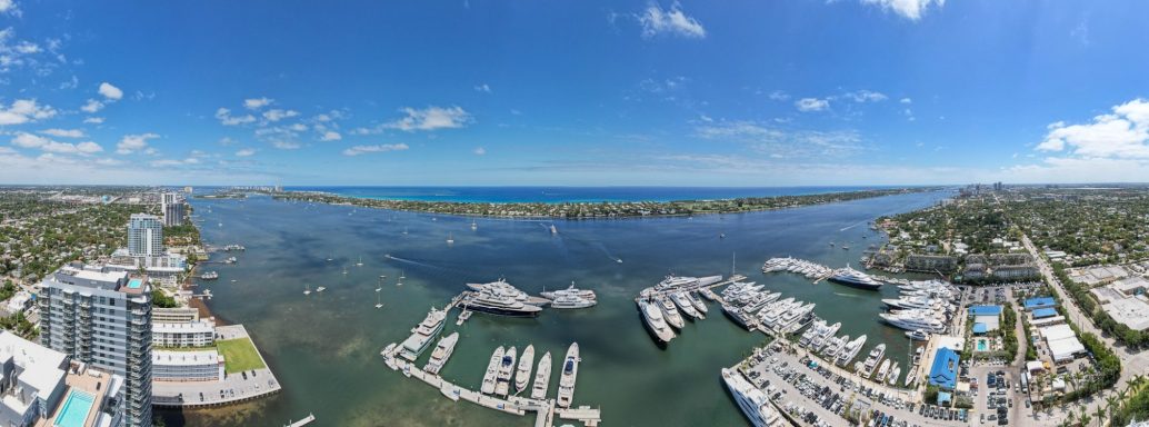
Community
Coastline Community
Frequently Asked Questions
Common questions about booking a Florida listing shoot, weather, turnaround and how the files arrive. If your question is not answered here, send us the address and we will tell you what is possible and how quickly we can be there.
Pricing depends on property size, how many deliverables you need and where in Florida the property sits. A standard residential listing with aerial stills is a flat fee. Large acreage, luxury estates and commercial listings are quoted per project. Send us the address and we will give you a firm number the same day.
All of them. Orlando, Kissimmee, Lakeland, Ocala, Melbourne and Daytona Beach across Central Florida. Tampa, St. Petersburg, Clearwater, Sarasota, Bradenton, Fort Myers, Cape Coral and Naples on the Gulf Coast. Jacksonville, St. Augustine, Vero Beach, Port St. Lucie, Stuart, Jupiter, West Palm Beach, Boca Raton, Fort Lauderdale and Miami on the Atlantic and South Florida corridors.
Standard residential shoots are delivered within 24 to 48 hours. If your listing goes live sooner than that, tell us when you book and we will move your edit to the front of the queue.
Yes. Every flight is run by an FAA Part 107 certified remote pilot on registered aircraft, and we carry liability coverage. We can send certificates to your brokerage on request.
For most listings, yes. Aerial real estate photography is almost always shot by drone today, and agents use the two terms interchangeably. The exception is very large tracts, or properties in airspace where drones are restricted, where a crewed aircraft is the right tool. See manned aerial photography in Florida.
Florida weather moves fast. We watch the forecast and reschedule at no charge if conditions will not produce usable images. Light overcast is often fine. Rain, high wind and heavy haze are not.
In most cases yes. Much of Orlando, Tampa, Fort Lauderdale and Miami sits inside controlled airspace. We request FAA authorization ahead of the visit through LAANC where it is available and file manually where it is not. A small number of locations near active airfields and government facilities cannot be flown, and we will tell you that before you book rather than after.
Yes. Most agents book aerial and ground together so the whole listing is covered in one visit. Alongside the aerial work we shoot real estate and home photography inside and out, video, and 360° and 180° photography.
You receive full rights to market the property, including MLS, your brokerage site, portals, print and social. We keep the right to show the work in our own portfolio unless you ask us not to.