

GOVERNMENT DRONE SERVICES FLORIDA
Government drone services in Florida support the work cities, counties, districts and agencies already do: documenting public infrastructure, recording capital project progress, mapping parcels and rights of way, assessing storm damage and producing imagery for public meetings and grant applications.
We work to the standards procurement teams expect. FAA Part 107 certified pilots, registered aircraft, liability coverage, documented flight planning and airspace authorization secured in advance, with certificates and paperwork provided before the first flight rather than after it. We serve agencies across Orlando, Kissimmee, Lakeland, Ocala, Daytona Beach, Tampa, St. Petersburg, Clearwater, Sarasota, Fort Myers, Jacksonville, West Palm Beach, Fort Lauderdale and Miami.
Deliverables are built for how public bodies actually use them: dated imagery for the record, measurable drone mapping data for engineering, structural drone inspections of public assets, and clear visuals that hold up in a commission meeting or a public notice.
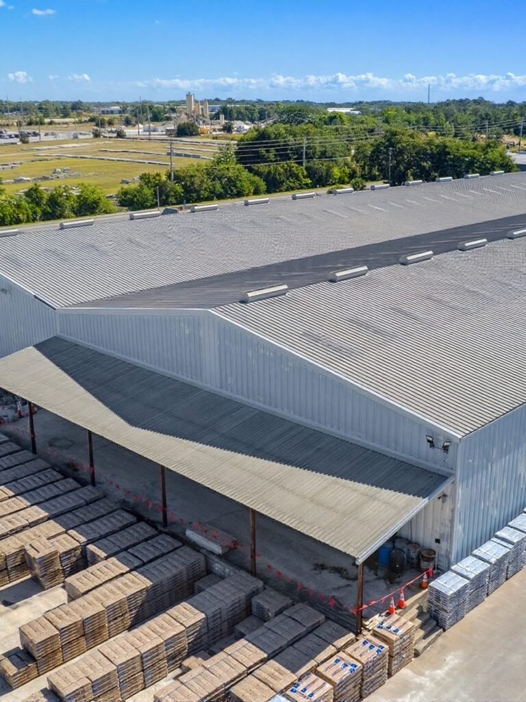
WHAT YOU GET
Compliant and Documented
Part 107 certification, aircraft registration, insurance certificates and airspace authorizations supplied up front.
Infrastructure Records
Roads, bridges, drainage, utilities, parks and public facilities documented in dated high resolution imagery.
Storm Damage Assessment
Rapid post event aerial capture across affected areas to support response, reporting and recovery claims.
Mapping for Engineering
Orthomosaics, elevation models and volumes that drop straight into GIS and engineering workflows.
FLORIDA METRO COVERAGE
We support municipal and county work across Florida. Central Florida and the Gulf Coast, including Orlando, Kissimmee, Lakeland, Ocala, Tampa and St. Petersburg, are closest to base and easiest to schedule at short notice. Jacksonville, Sarasota, Fort Myers and the South Florida corridor are covered with normal lead time.
Central Florida
- Orlando, FL
- Kissimmee, FL
- Lakeland, FL
- Ocala, FL
- Melbourne, FL
- Daytona Beach, FL
- Lake County, FL
- Brevard County, FL
Gulf Coast
- Tampa, FL
- St. Petersburg, FL
- Clearwater, FL
- Sarasota, FL
- Bradenton, FL
- Fort Myers, FL
- Cape Coral, FL
- Naples, FL
Atlantic & South Florida
- Jacksonville, FL
- St. Augustine, FL
- Palm Coast, FL
- Port St. Lucie, FL
- West Palm Beach, FL
- Boca Raton, FL
- Fort Lauderdale, FL
- Miami, FL
Supporting a Florida agency, city or district?
RECENT FLORIDA PROJECTS
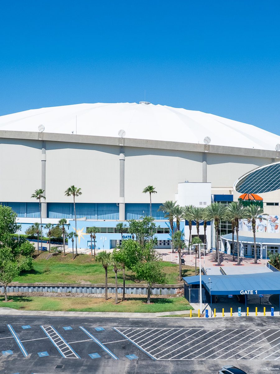
Public Venue
Stadium And Venue
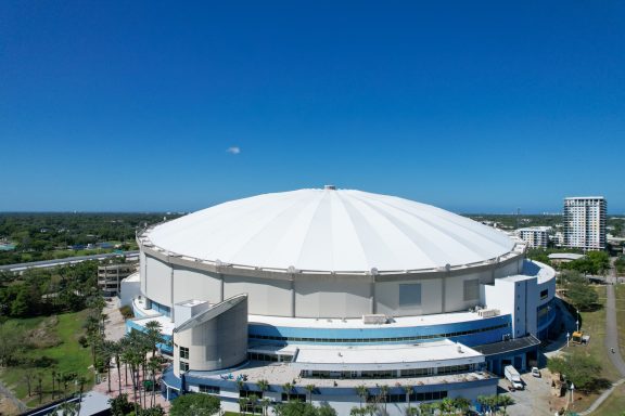
Infrastructure
Structure Inspection
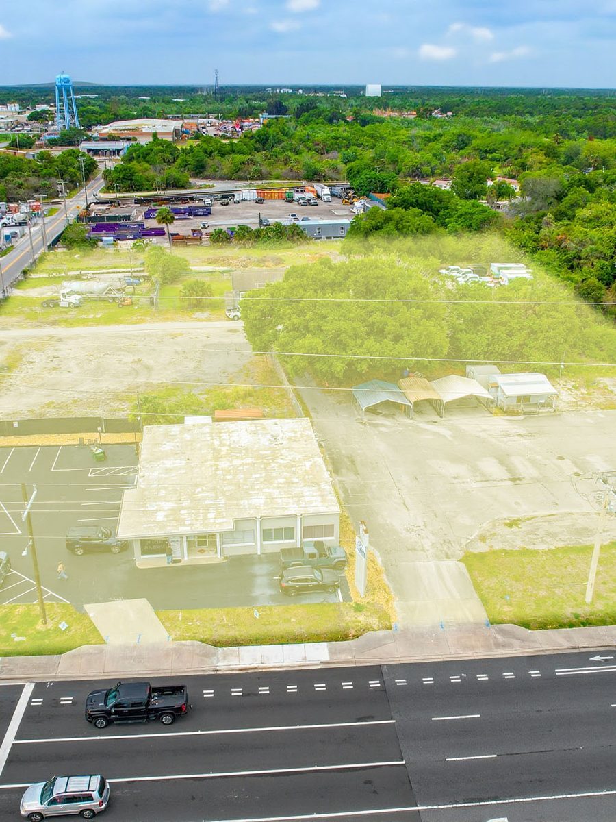
Mapping
Site Mapping Capture
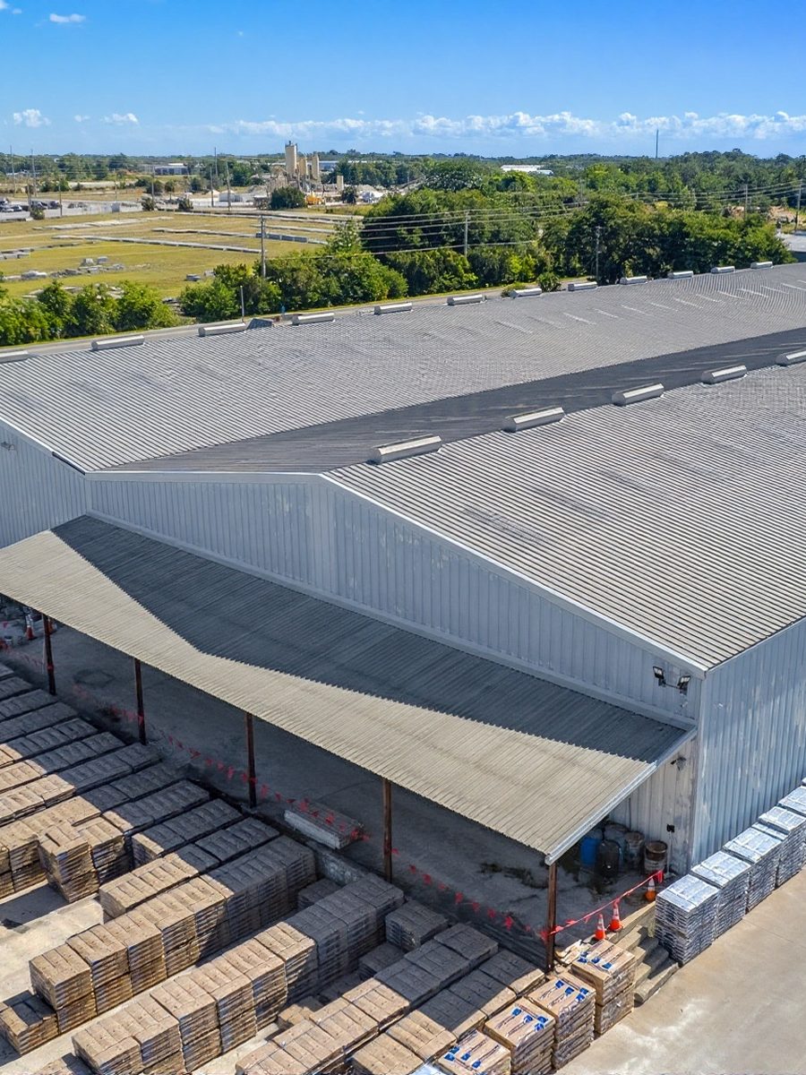
Facilities
Public Facility
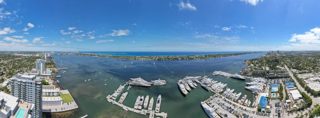
Coastal
Coastline Documentation
Frequently Asked Questions
Questions about procurement, insurance, compliance, public records and scheduling. If your agency has a specific solicitation or insurance requirement, send it over and we will confirm what we can meet.
Yes. We provide FAA Part 107 certification, aircraft registration, proof of liability insurance and documented flight planning ahead of any work. If your procurement process needs additional insured status or specific limits, tell us early and we will confirm what we can meet.
Orlando, Kissimmee, Lakeland, Ocala, Melbourne and Daytona Beach across Central Florida. Tampa, St. Petersburg, Clearwater, Sarasota, Bradenton, Fort Myers, Cape Coral and Naples on the Gulf Coast. Jacksonville, St. Augustine, Port St. Lucie, West Palm Beach, Boca Raton, Fort Lauderdale and Miami on the Atlantic and South Florida corridors.
Yes, and it is one of the highest value uses of aerial capture in Florida. Rapid dated imagery across affected areas supports response prioritization, damage reporting and recovery documentation. Availability immediately after a major event is first come, so an arrangement in place before the season is worth having.
Yes. We request FAA authorization through LAANC where available and file manually where it is not, and we do it before the scheduled date. We will tell you in advance if a location cannot be flown.
Yes. Deliverables are supplied in formats suitable for presentations, public notices, agenda packets and grant applications, and you receive the rights to use them for public purposes.
We fly to the mission, not beyond it. Flight plans are scoped to the parcels and infrastructure in question, we avoid unnecessary capture of private property and residents, and we can brief on the plan before flying if a public communication is required.
Yes. Geo referenced orthomosaics, elevation models and point clouds in the formats your GIS or engineering team specifies.
Yes. Recurring capture across a capital program or a set of facilities is easier to schedule and cheaper per visit than one off bookings. We can structure it as a term agreement.