

DRONE PHOTOGRAPHY IN JACKSONVILLE
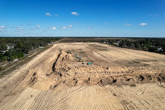
Drone photography in Jacksonville starts with scale. It is the largest city by land area in the contiguous United States, and a lot of that land is being built on: distribution centers near the port and the interstates, new communities in St. Johns County, and a downtown riverfront with major redevelopment underway. Most of it is easier to understand from the air than from a site trailer, which is why construction progress monitoring is the service we lead with up here.
The airspace reflects a Navy town. Jacksonville International is Class C, Jacksonville Executive at Craig is Class D, and the Navy airfields at NAS Jacksonville and Naval Station Mayport each hold Class D of their own. Military installations and the port are also covered by Florida Statute 330.41, which restricts flying over critical infrastructure. On Jaguars game days the FAA’s standing stadium restriction closes the airspace for three nautical miles around the stadium, from an hour before kickoff to an hour after the game.
Jacksonville is about three and a half hours north of our Sebring base. We drive to jobs anywhere in Florida, so Northeast Florida work is booked ahead rather than turned away. Beyond construction, we fly drone mapping for land and logistics parcels and aerial real estate photography for homes at the beaches and along the St. Johns River.
WHAT WE FLY IN JACKSONVILLE
Logistics and Industrial
Warehouses, truck courts and rail-served sites documented for owners, brokers and lenders as they go up.
Master-Planned Communities
Phase by phase records of new neighborhoods, with construction site mapping when lots and roads need measuring.
River and Beach Homes
St. Johns River, Intracoastal and oceanfront listings shown with the water access buyers ask about first.
Inspections at Height
Roofs, towers and facades reviewed through drone inspections instead of a lift or a rope crew.
AREAS WE COVER AROUND JACKSONVILLE
We cover Duval County and the surrounding Northeast Florida counties. Navy airspace and the port sit close to a lot of good sites here, so every address is checked against both before we confirm.
Jacksonville
- Downtown Jacksonville
- San Marco
- Riverside
- Avondale
- Southside
- Mandarin
- Arlington
- Northside
Northeast Florida
- Orange Park
- Fleming Island
- Middleburg
- St. Johns
- Nocatee
- Yulee
- Fernandina Beach
- Green Cove Springs
The Beaches
- Jacksonville Beach
- Neptune Beach
- Atlantic Beach
- Ponte Vedra Beach
- South Ponte Vedra
- Mayport
- Amelia Island
- Vilano Beach
Need a drone over a Jacksonville site?
RECENT FLORIDA PROJECTS
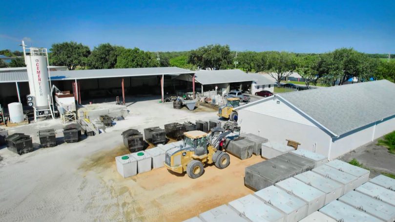
Commercial
Commercial Site
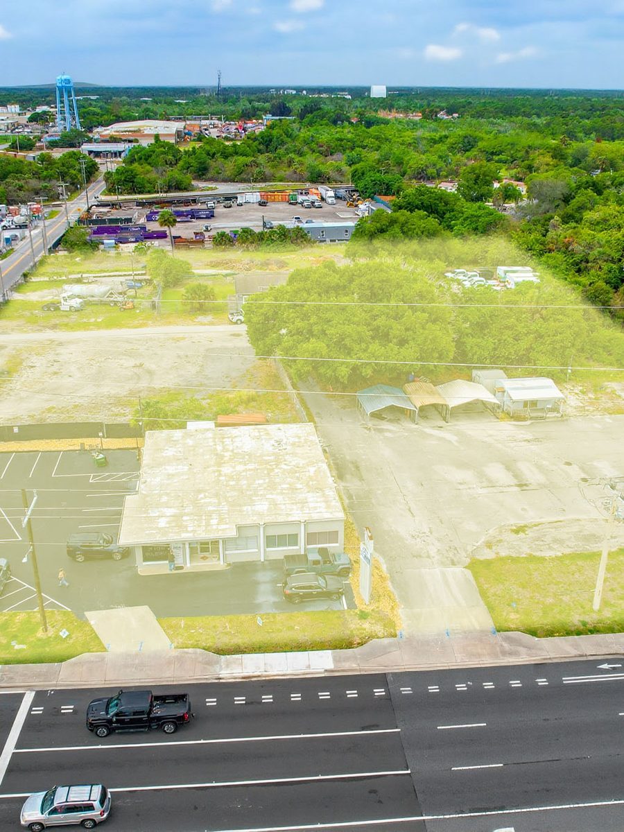
Mapping
Parcel Outline
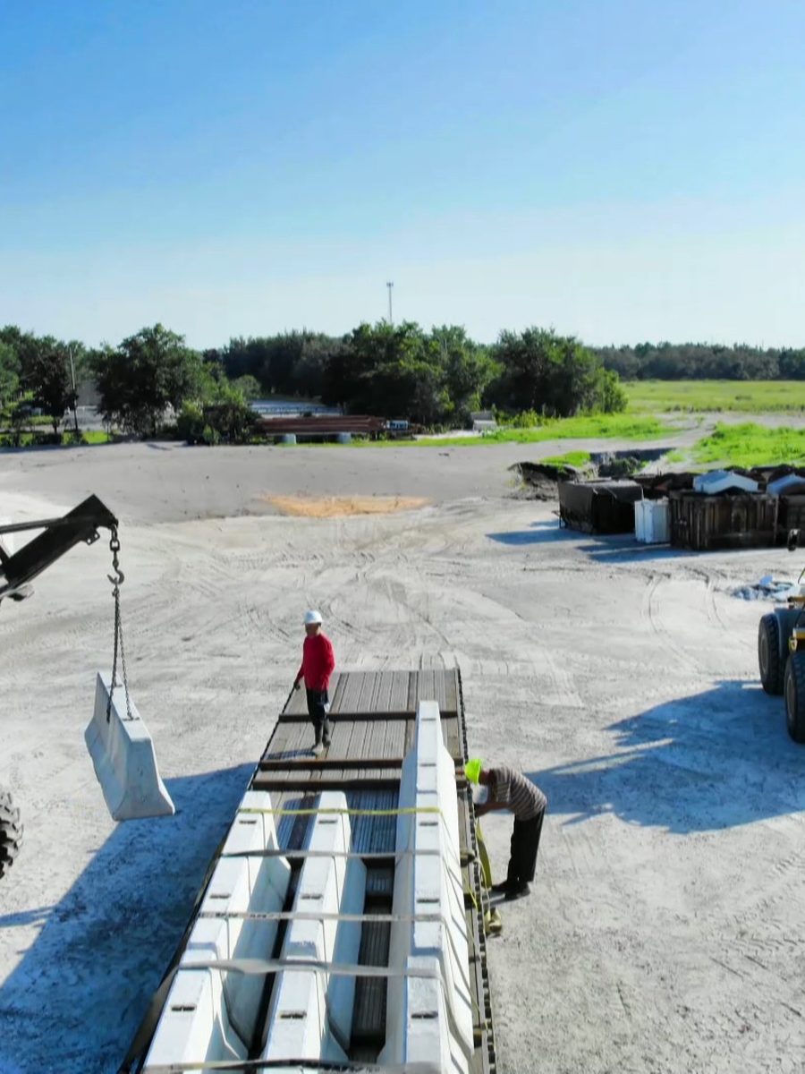
Construction
Site Progress
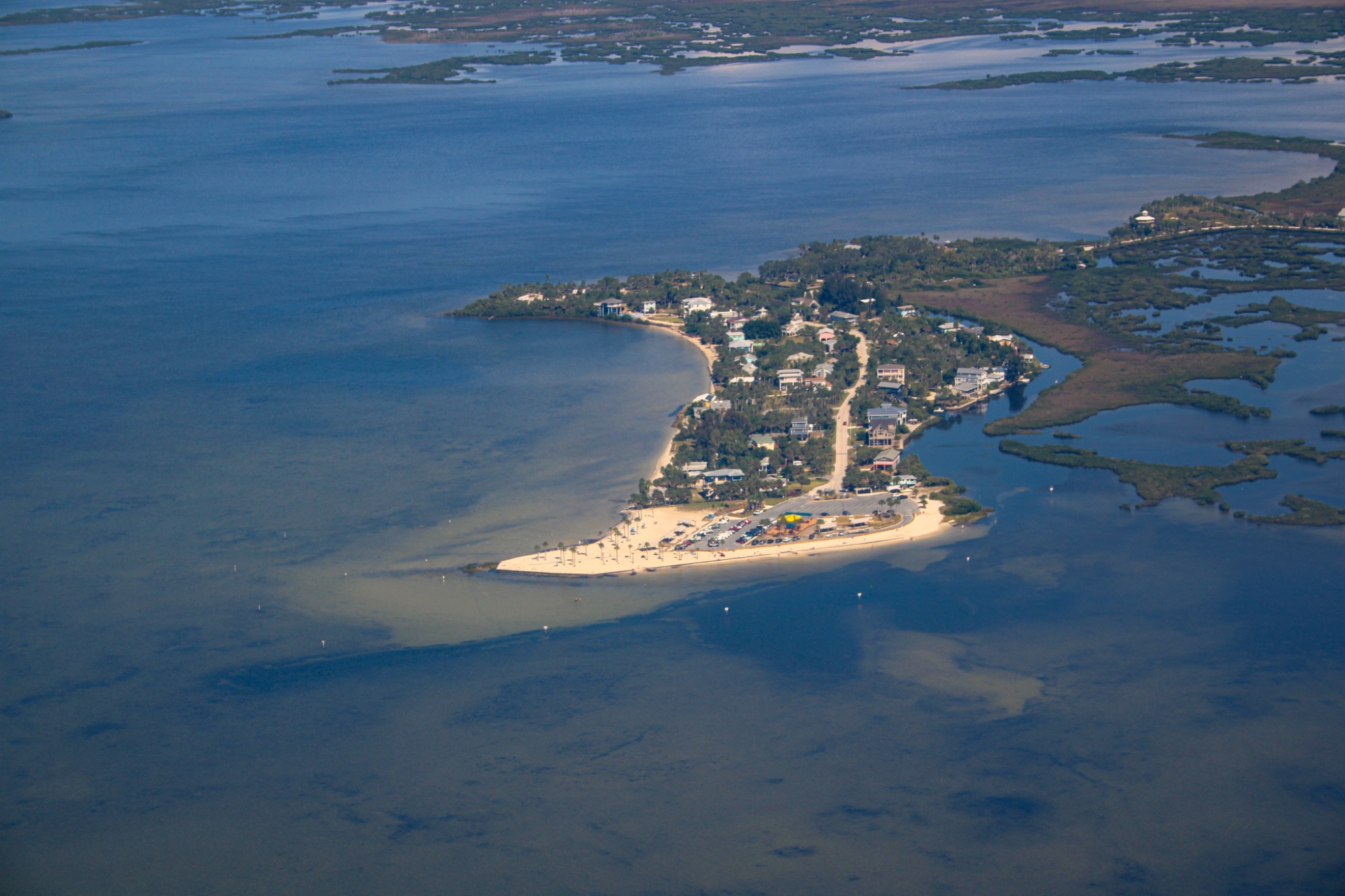
Coastal
Coastal Homes
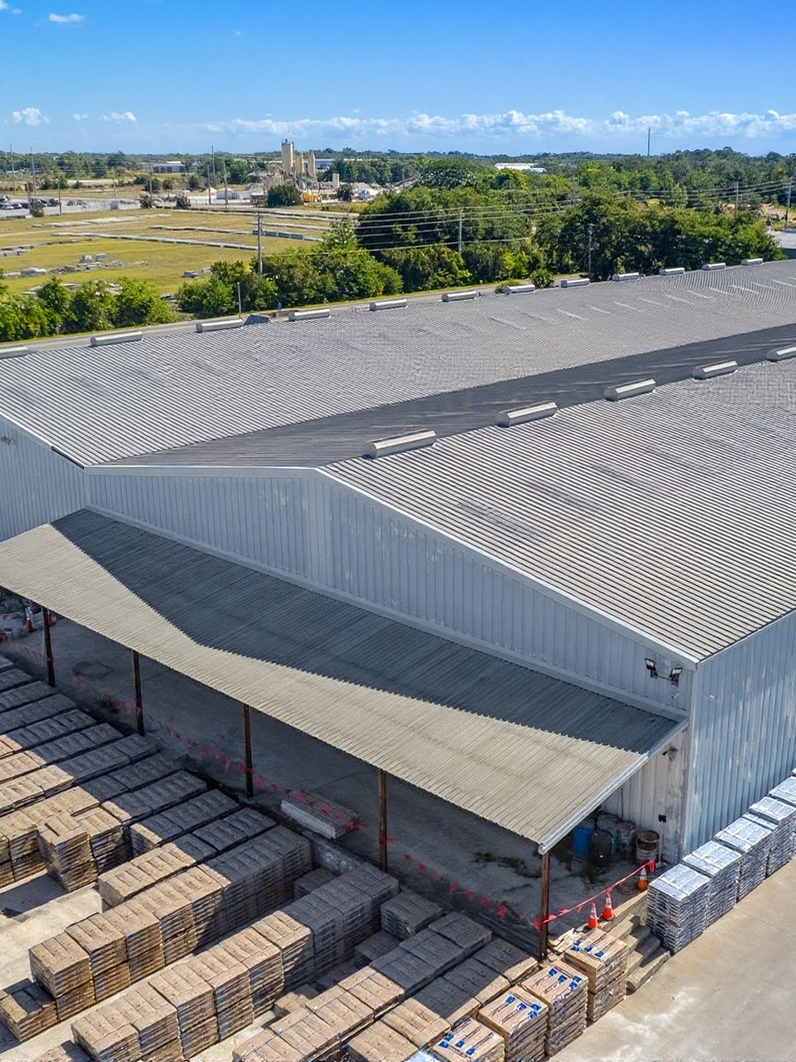
Industrial
Industrial Facility
Frequently Asked Questions
Questions about Navy airspace, the port, game days and scheduling. Send the address and we will check the airspace and the installation boundaries near it.
Yes, with authorization in most of the city. Jacksonville International is Class C, Craig is Class D, and the Navy airfields at NAS Jacksonville and Mayport hold Class D as well. We request authorization for your address before the visit.
Not over them. Both are military installations, which Florida Statute 330.41 treats as critical infrastructure. Nearby sites can often be photographed from outside the boundary once the airspace authorization is in place.
The FAA's stadium restriction covers three nautical miles around the stadium up to 3,000 feet, from one hour before to one hour after NFL and major college games. Downtown and riverfront shoots are scheduled around the home calendar.
Not inside National Park Service land. The Timucuan Ecological and Historic Preserve is run by the Park Service, which prohibits launching, landing or operating drones in its parks. We check preserve boundaries for sites along the northern St. Johns.
About three and a half hours from Sebring. We take work anywhere in Florida, so Jacksonville jobs are scheduled a little further ahead rather than declined.
Yes. We cover Duval, St. Johns, Clay and Nassau counties, from Fernandina Beach and Amelia Island down to Ponte Vedra and Nocatee.
By site size, deliverables and frequency. Logistics and community builds usually run on a monthly schedule, which is quoted as a series. Send the address and we will put a number on it.
Yes. FAA Part 107 certified pilots, registered aircraft and liability insurance, with certificates provided to your general contractor or risk team before the first flight.