

DRONE SERVICES IN SARASOTA
Drone services in Sarasota are mostly about property that sells on position. Siesta Key, Longboat Key, Lido and the downtown bayfront all trade on water access, view lines and how far the sand is, and none of that photographs from the ground. The luxury tower pipeline downtown adds a second stream of work, since a two thousand day build out is worth documenting from the first pour.
The airspace has a wrinkle worth knowing. Sarasota Bradenton International is Class C, but only part time. Outside its published hours the surface area reverts to Class G with Class E starting at 700 feet, which changes what authorization is needed and when. We read the current chart supplement rather than assuming, because the answer genuinely differs depending on the hour you fly.
Sebring is about two hours east across the state. Listings here are usually booked as real estate drone photography with ground coverage in the same visit, and the tower and condo work as construction progress monitoring.
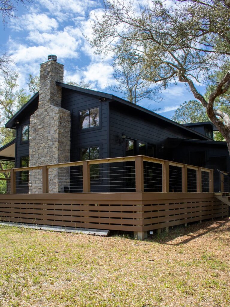
WHAT WE FLY IN SARASOTA
Luxury Waterfront
Key and bayfront listings shot to show dock access, view lines and the real distance to the Gulf.
Condo and Tower
Downtown high rise projects documented from groundbreaking through topping out for owners and marketing teams.
Air and Ground Together
Aerial establishing shots paired with exterior, interior and twilight photography in one visit.
Listing Video
Cinematic walkthroughs and reveals for high value listings, with vertical cuts. See aerial videography.
AREAS WE COVER AROUND SARASOTA
We cover Sarasota and Manatee counties, from the keys and the downtown bayfront inland through Lakewood Ranch and south to Venice. Coastal wind decides the flight window more often than airspace does, so we plan around the forecast.
Sarasota
- Downtown Sarasota
- Siesta Key
- Lido Key
- Bird Key
- Saint Armands
- Southside Village
- Palmer Ranch
- Gulf Gate
North County
- Longboat Key
- Bradenton
- Anna Maria Island
- Lakewood Ranch
- Palmetto
- Ellenton
- University Park
- Parrish
South County
- Venice
- Osprey
- Nokomis
- Englewood
- North Port
- Casey Key
- Manasota Key
- Laurel
Need aerials of a Sarasota listing?
RECENT FLORIDA PROJECTS
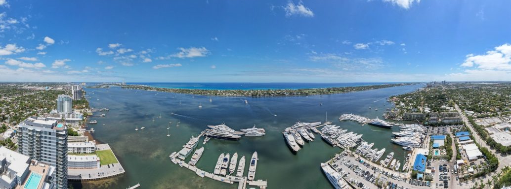
Coastal
Florida Coastline
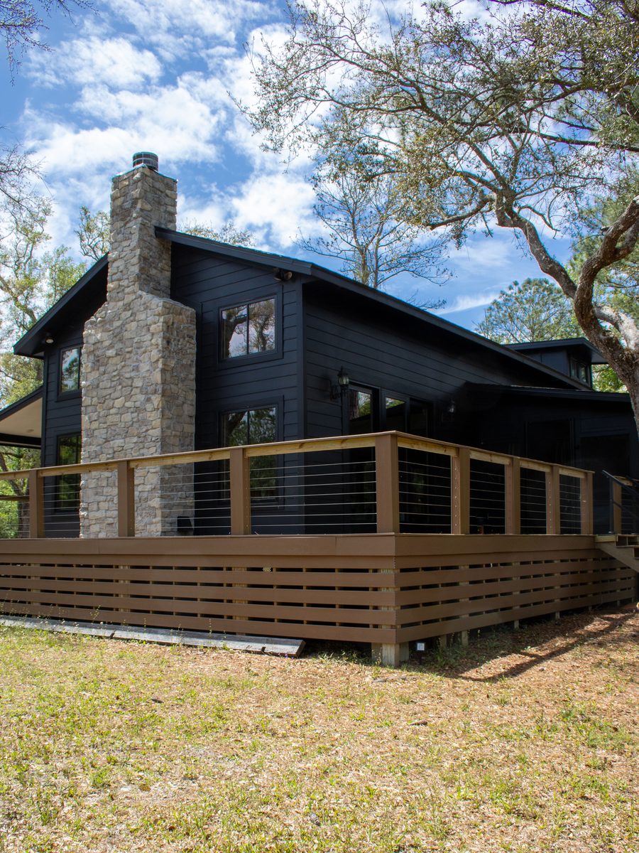
Real Estate
Property Exterior
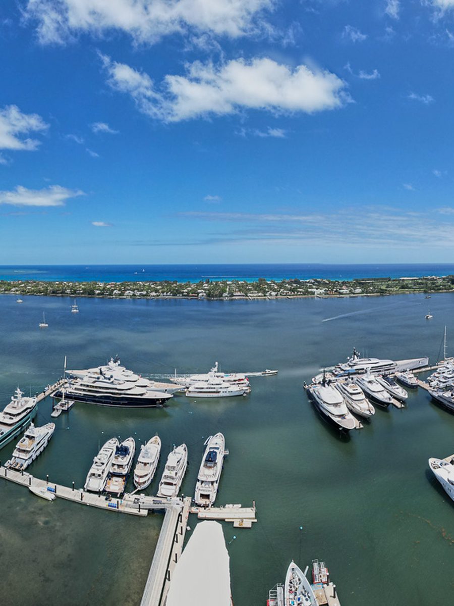
Waterfront
Marina And Waterfront
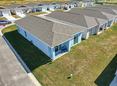
Residential
Residential Aerial
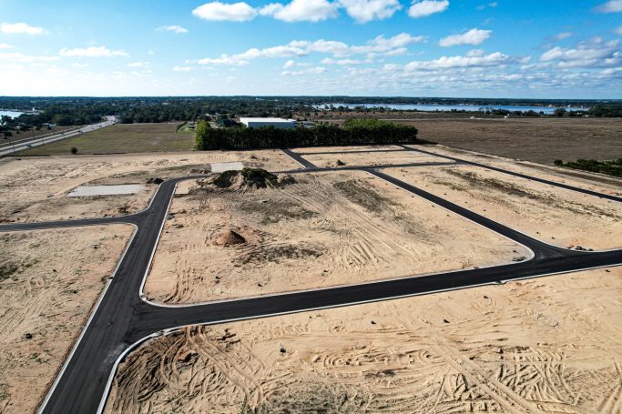
Development
Land Development
Frequently Asked Questions
Questions about Sarasota airspace, coastal conditions, luxury listing work and turnaround. Send us the address and we will confirm the flight window.
Yes. Sarasota Bradenton International holds Class C airspace, but on a part time basis, so outside its published hours the surface area reverts to Class G with Class E starting at 700 feet. That changes what authorization is needed. We check the current chart supplement for the actual hours before every job rather than assuming.
Yes, along with Lido, Bird Key, Casey Key, Anna Maria Island and Manasota Key. Barrier island listings are among the strongest cases for aerial photography, because the value is in the position and the position is invisible from the driveway.
It is the main scheduling constraint here, more than airspace. Gulf side sites often fly cleanly in the morning and not by mid afternoon. We book the calmer window and reschedule at no charge rather than deliver soft footage.
Yes, in the amount of time on site. High value listings get more setups, twilight coverage and usually video as well as stills, because the marketing has to hold up against every other eight figure listing in the market.
Sebring is about two hours east. That is a drive rather than a travel charge, and it means we can be set up for morning or golden hour light without an overnight.
Yes, across both Sarasota and Manatee counties, including North Port, Englewood, Osprey, Nokomis, Palmetto and Parrish.
Edited stills within 24 to 48 hours on residential listings. Video edits are three to five business days. Tell us the go live date when you book and we will work to it.
Yes. FAA Part 107 certified remote pilots on registered aircraft, with liability coverage and certificates available to your brokerage on request.