

CONSTRUCTION SITE MAPPING
Construction site mapping turns a drone flight into data your civil team can actually use. Instead of photographs you get a scaled, georeferenced picture of the whole site, a surface model, and the quantities that come out of it: earthwork progress, stockpile volumes, cut and fill against the design surface, and a base map that lines up with the drawings.
581 Drone Services flies mapping missions across Florida from a base in Sebring, in Highlands County. Ground control is placed and checked on site so the deliverable holds the tolerance the job needs, and the accuracy actually achieved is reported with the data rather than assumed. Every flight is run by a Part 107 certificated remote pilot, with airspace authorization handled before the crew arrives.
For mapping work outside construction, see drone mapping and 3D modeling. If you want images rather than measurements, aerial construction photography covers single visits and construction progress photography covers recurring documentation.
What Comes Off The Flight
Orthomosaics and Base Maps
A scaled, georeferenced image of the whole site that drops straight onto the civil drawing, so the owner, the GC and the subs are all looking at the same picture.
Stockpile and Earthwork Volumes
Cut and fill measured against the design surface, and stockpile quantities you can put behind a pay application instead of a pacing estimate.
Ground Control and a Stated Accuracy
Control points placed and checked on site, with the accuracy actually achieved reported alongside the data rather than left to assumption.
Formats Your Team Already Uses
A GeoTIFF orthomosaic, a LAS or LAZ point cloud, a digital surface model and DXF contours, ready to import into the civil and site software you already run.
Florida Metro Coverage
We map construction sites, land development parcels and earthwork operations across Florida. These are the metros we drive to regularly, all within about two and a half hours of our base in Sebring.
Central Florida
- Orlando, FL
- Kissimmee, FL
- Lakeland, FL
- Ocala, FL
- Melbourne, FL
- Daytona Beach, FL
- Lake County, FL
- Brevard County, FL
Gulf Coast
- Tampa, FL
- St. Petersburg, FL
- Clearwater, FL
- Sarasota, FL
- Bradenton, FL
- Fort Myers, FL
- Cape Coral, FL
- Naples, FL
Atlantic & South Florida
- Jacksonville, FL
- St. Augustine, FL
- Palm Coast, FL
- Port St. Lucie, FL
- West Palm Beach, FL
- Boca Raton, FL
- Fort Lauderdale, FL
- Miami, FL
Need a mapped site and real quantities?
Recent Florida Projects
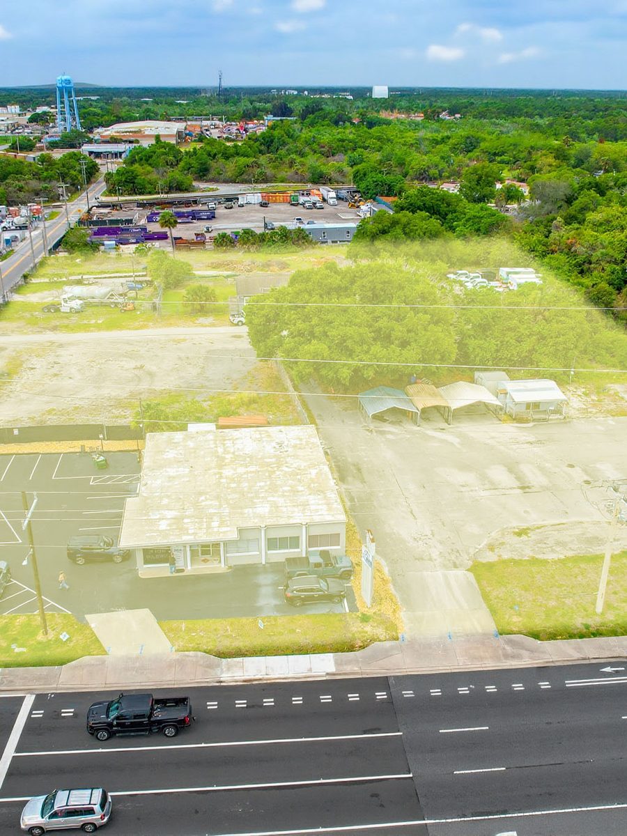
Site Mapping
Large Site Capture
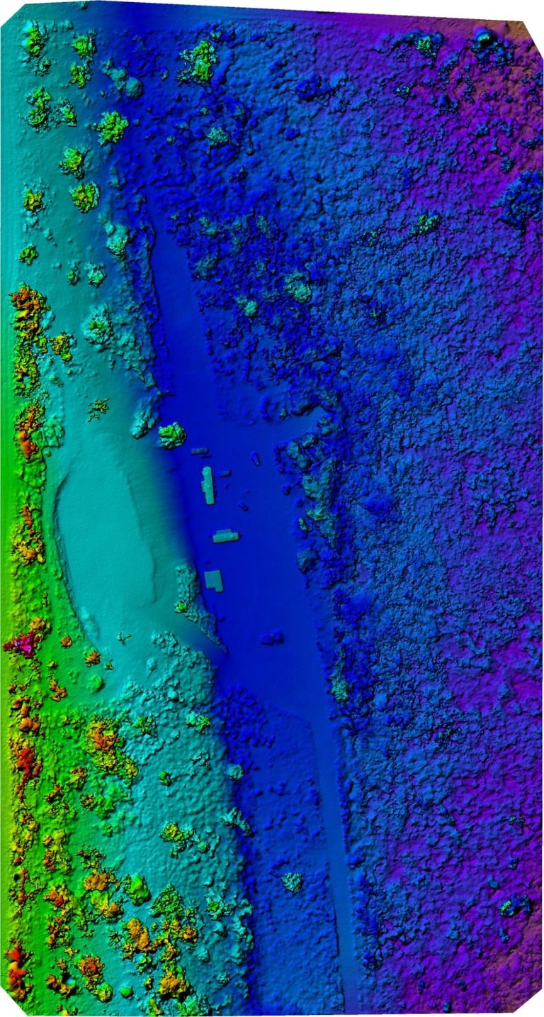
Elevation
Surface Model
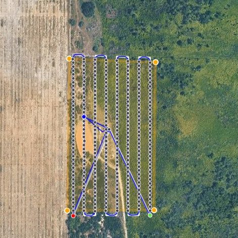
Flight Plan
Mapping Flight Path
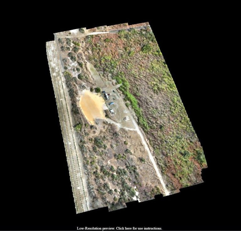
3D Model
Textured Site Model
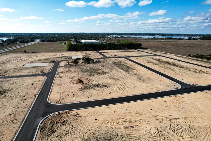
Development
Land Development
Frequently Asked Questions
Common questions about construction site mapping in Florida.
No, and we will not tell you it does. Boundary work, plats and anything that needs a seal must come from a licensed Florida surveyor. Drone mapping sits alongside that. It gives you frequent, current quantities and a base map between survey visits, at a fraction of the cost and turnaround.
It depends on flight height, image overlap and how much ground control we can place. Rather than quote a number before seeing the site, we scope the control to the tolerance your job needs and report the accuracy actually achieved with the deliverable.
A GeoTIFF orthomosaic, a point cloud in LAS or LAZ, a digital surface model, DXF contours at the interval you specify, and a short report covering flight parameters, control and achieved accuracy.
Processing time scales with site size and image count. You get a delivery date when we scope the flight, and if a reprocess is needed we tell you rather than quietly slipping the date.
No. We bring and place the ground control ourselves and we check it. If your surveyor has already set control on site we will use it, which usually saves time and improves the tie to your project datum.
The drone mapping and 3D modeling page covers mapping work generally, including land, solar, agriculture and property. This page is the construction version: earthwork quantities, progress against design, and deliverables aimed at a civil workflow.
Orlando, Kissimmee, Lakeland, Ocala, Melbourne, Daytona Beach, Tampa, St. Petersburg, Clearwater, Sarasota, Bradenton, Fort Myers, Cape Coral, Naples, Jacksonville, St. Augustine, Port St. Lucie, West Palm Beach, Fort Lauderdale and Miami, plus Lake County and Brevard County.
Yes. Much of Orlando and Tampa sits under Class B or Class C airspace, and Lakeland, Kissimmee, Sarasota, Fort Myers and Naples all have their own controlled airspace. Authorization is obtained through LAANC or an FAA filing before the flight.