
Real Estate Drone Photography in Sarasota, FL

REAL ESTATE DRONE PHOTOGRAPHY IN SARASOTA
Real estate drone photography in Sarasota is essentially a job of proving position. On Siesta Key, Longboat, Lido, Bird Key and Casey Key the price is the position, and a buyer scrolling a listing wants to know exactly how many steps to the sand, which side of the key the property sits on, whether the dock has direct Gulf access or a bridge in the way. Those are aerial questions.
Two local factors shape how we schedule. The first is airspace: Sarasota Bradenton International runs Class C on a part time basis, so outside its published hours the surface area reverts to Class G with Class E beginning at 700 feet. What is required of you at eight in the morning is not what is required at midnight, and we read the current chart supplement rather than assuming. The second is wind. Gulf side listings routinely fly clean at sunrise and not by two in the afternoon, so we book the window rather than the day.
Every flight is run by an FAA Part 107 licensed remote pilot on registered, insured aircraft. Most Sarasota listings are shot air and ground in one visit, with twilight where the property justifies it.
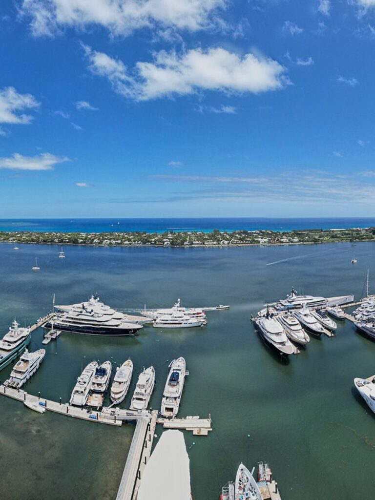
SARASOTA LISTINGS WE SHOOT
Barrier Island Listings
Siesta, Lido, Longboat and Casey Key properties framed to show beach distance, key position and Gulf orientation.
Boating and Dock Access
Dock, canal routing and whether the run to open water is bridge free, which is a deal maker for a buyer with a boat.
Downtown Condo and Tower
Bayfront condo listings shot to show the actual view line and floor position rather than a marketing render.
Golden Hour Scheduling
Shoots booked to the calm morning or evening window rather than to a date, because coastal wind decides image quality here.
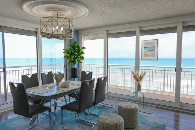
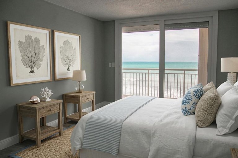
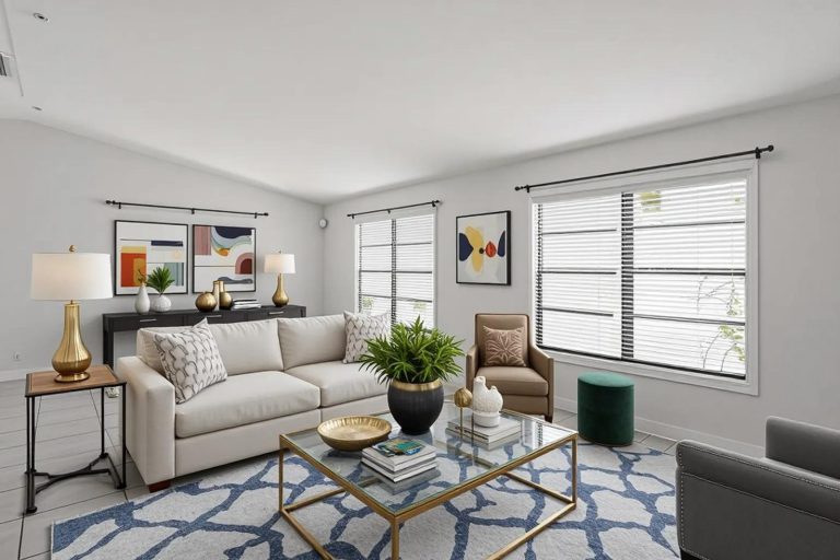
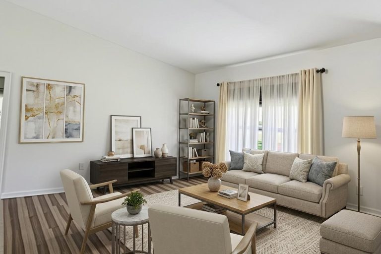
INSIDE SARASOTA HOMES, TOO
A Sarasota key property sells the view, but buyers still want to see the kitchen.
Beyond the aerials over Siesta Key, Longboat Key and Lido, we shoot real estate photography that shows the water through the windows instead of a white glare, listing video, and 360° and 180° photography for seasonal buyers who are still up north.
One visit, one look, inside and out. Ask us about pairing the ground work with your next aerial shoot.
SARASOTA AREAS WE COVER
We cover Sarasota and Manatee counties, from the keys and the downtown bayfront inland to Lakewood Ranch and south to Venice and Englewood. Wind and light dictate the flight window more often than airspace does, so we plan around the forecast and reschedule at no charge rather than deliver soft images.
Keys and Bayfront
- Siesta Key
- Lido Key
- Bird Key
- Longboat Key
- Saint Armands
- Casey Key
- Anna Maria Island
- Downtown Bayfront
Sarasota Mainland
- Southside Village
- Palmer Ranch
- Gulf Gate
- Arlington Park
- Laurel Park
- The Meadows
- Sarasota Springs
- Fruitville
North and South County
- Lakewood Ranch
- Bradenton
- Palmetto
- University Park
- Venice
- Osprey
- Nokomis
- Englewood
Listing a Sarasota key property?
RECENT FLORIDA PROJECTS
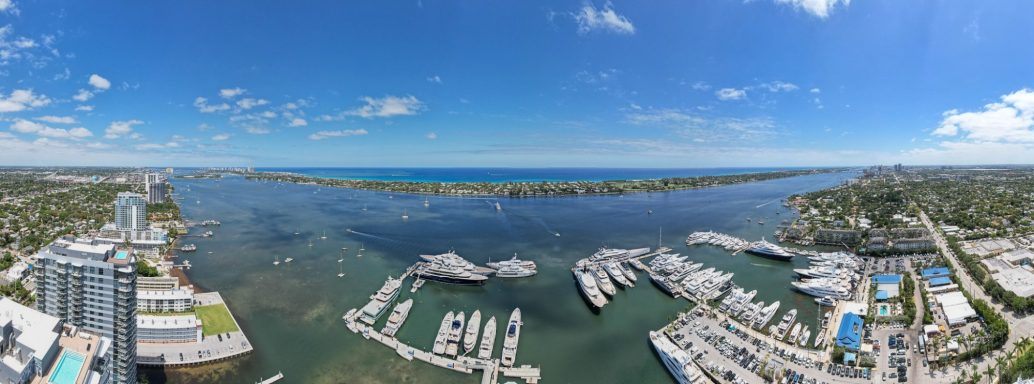
Coastal
Florida Coastline
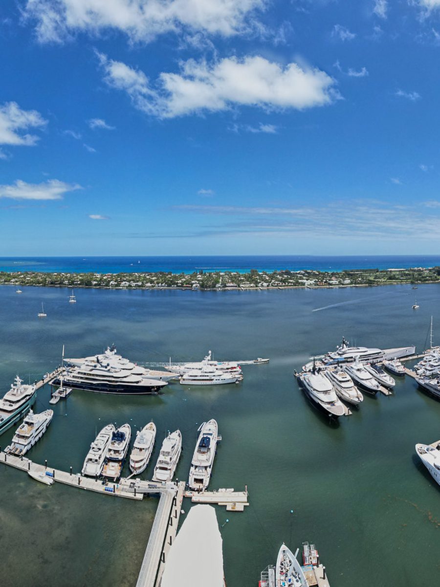
Waterfront
Marina And Waterfront
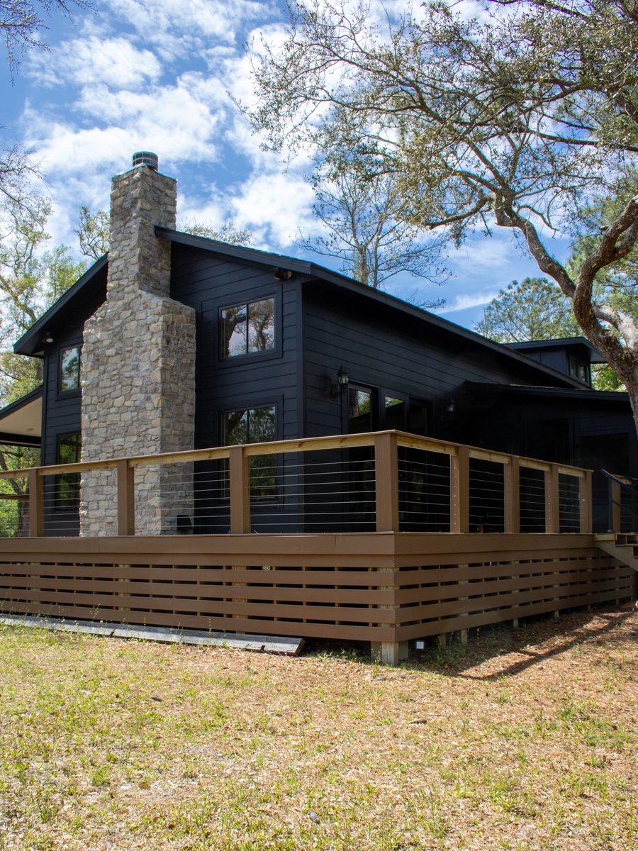
Real Estate
Property Exterior
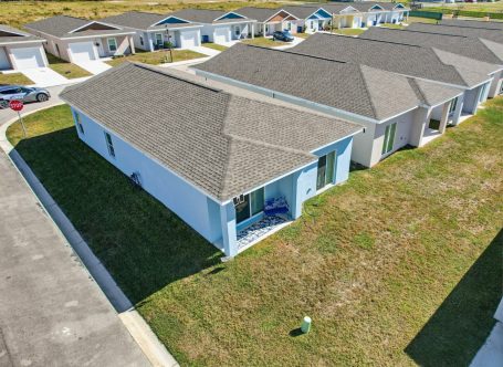
Residential
Residential Aerial
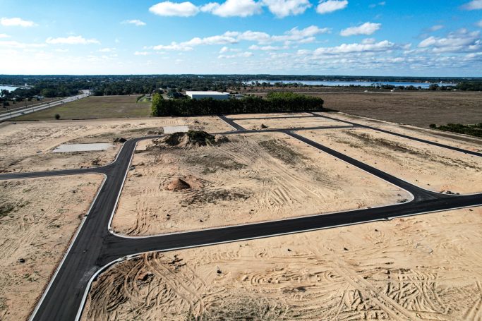
Land
Land And Acreage
Frequently Asked Questions
Questions about Sarasota airspace, wind windows, luxury listing coverage and turnaround. Send us the address and we will confirm the best flight window.
Yes. The keys are generally straightforward, though Sarasota Bradenton International holds part time Class C airspace and the requirement changes depending on the hour you fly. We check the current chart supplement for the actual operating hours before every job rather than assuming, and file authorization where it is needed.
Because Gulf side wind decides whether the images are usable. A key listing often flies cleanly at sunrise and is unshootable by mid afternoon. We book the calm window, and if the forecast turns we reschedule at no charge instead of delivering soft frames on a multi million dollar listing.
Yes, and it is one of the strongest arguments for aerial coverage here. A single overhead frame traces the canal out to open water and answers a question that costs a buyer with a boat a phone call and a site visit to resolve otherwise.
Yes. Twilight exteriors are often the single strongest image in a Sarasota listing, and the window is narrow, so we plan the schedule around it rather than treating it as an add on.
Edited stills within 24 to 48 hours. Video edits are three to five business days. Tell us the go live date when you book.
A standard residential listing is a flat fee based on size and deliverables. Key and bayfront estates with twilight and video are quoted per project.
Yes, across both Sarasota and Manatee counties including Anna Maria Island, Palmetto, Osprey, Nokomis and Englewood. Our Sarasota drone services page covers commercial and construction work.
Yes. FAA Part 107 certified remote pilots on registered aircraft with liability coverage, and certificates available to your brokerage. Full detail on our real estate drone photography page.