

DRONE MAPPING SERVICES AND 3D MODELING
Drone mapping services in Florida give engineers, surveyors, developers and contractors measurable data instead of pictures. A single flight produces an orthomosaic map, a digital elevation model and a 3D site model, all tied to real coordinates and all repeatable on the next visit.
We capture large sites in a fraction of the time a ground crew needs, and we fly the same grid every time so datasets from different months line up. That is what makes the output useful for volume calculations, grading checks, drainage review and progress reporting. We work across Orlando, Kissimmee, Lakeland, Ocala, Tampa, St. Petersburg, Sarasota, Fort Myers, Jacksonville and the South Florida corridor.
Every flight is run by an FAA Part 107 licensed remote pilot on registered, insured aircraft, and authorization is secured ahead of the visit where a site sits inside controlled airspace. Mapping is often booked alongside construction progress monitoring and drone inspections on the same visit.
For mapping on an active construction site, including cut and fill against the design surface and stockpile quantities for pay applications, see construction site mapping.
WHAT YOU GET
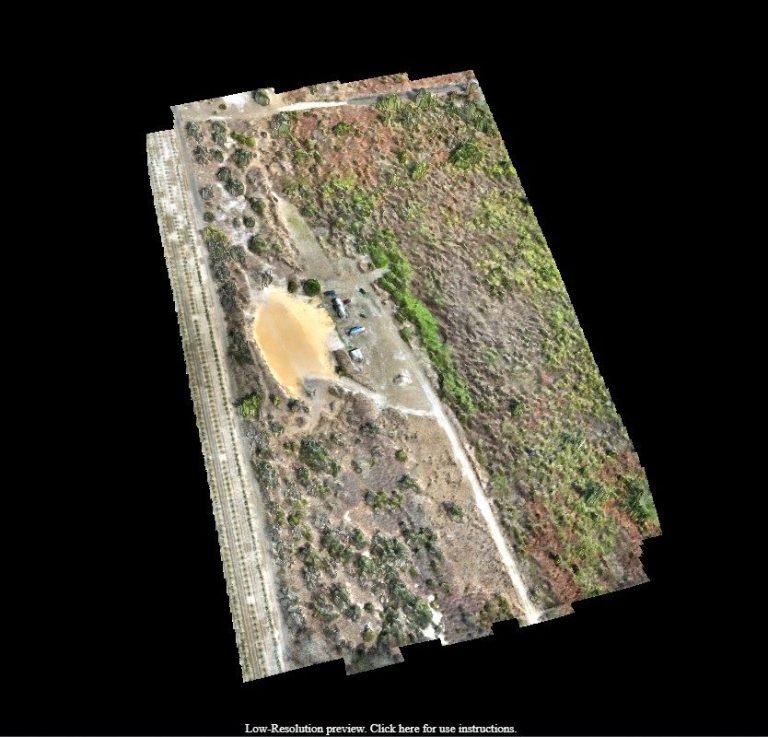
Orthomosaic Maps
A single stitched, geo referenced top down image of the whole site at survey grade detail.
Elevation Models
Digital surface and terrain models for grading, drainage review and cut and fill planning.
3D Site Models
Textured 3D models you can rotate, measure and share with a client or a review board.
Volume Calculations
Stockpile and earthwork volumes measured from the point cloud, repeatable month over month.
FLORIDA METRO COVERAGE
We fly mapping missions across Florida, from land development sites around Orlando, Kissimmee and Lakeland to coastal and industrial projects in Tampa, St. Petersburg, Sarasota, Fort Myers, Jacksonville and the Miami and Fort Lauderdale corridor. Large sites are split across flights and merged into one dataset.
Central Florida
- Orlando, FL
- Kissimmee, FL
- Lakeland, FL
- Ocala, FL
- Melbourne, FL
- Daytona Beach, FL
- Lake County, FL
- Brevard County, FL
Gulf Coast
- Tampa, FL
- St. Petersburg, FL
- Clearwater, FL
- Sarasota, FL
- Bradenton, FL
- Fort Myers, FL
- Cape Coral, FL
- Naples, FL
Atlantic & South Florida
- Jacksonville, FL
- St. Augustine, FL
- Palm Coast, FL
- Port St. Lucie, FL
- West Palm Beach, FL
- Boca Raton, FL
- Fort Lauderdale, FL
- Miami, FL
Need measurable data from your Florida site?
RECENT FLORIDA PROJECTS
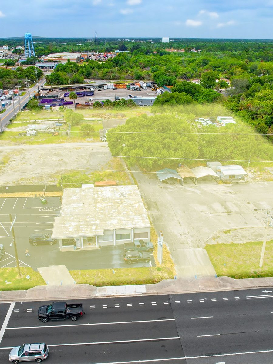
Site Mapping
Large Site Capture
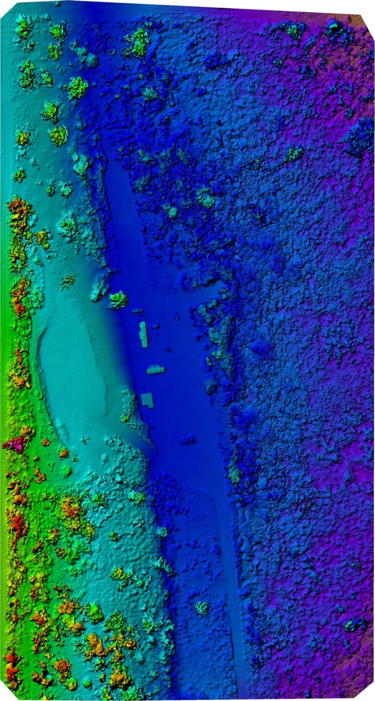
Elevation
Elevation Model
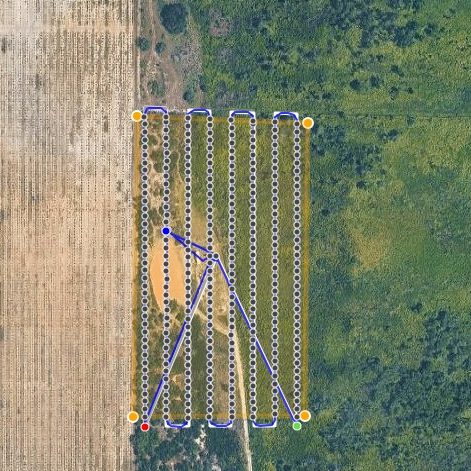
Flight Plan
Mapping Flight Path
3D Model
Textured Site Model
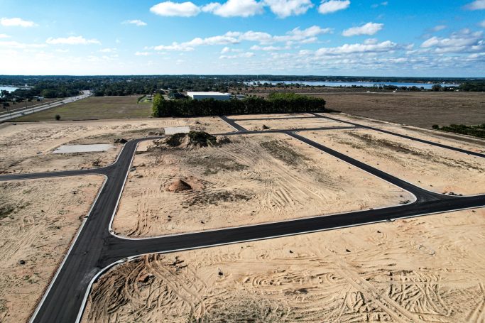
Development
Land Development
Frequently Asked Questions
Questions about accuracy, deliverable formats, ground control and how mapping flights are scheduled. Send us the site boundary and we will tell you flight time, deliverables and cost.
Relative accuracy of a few centimeters is typical on a well flown site. Absolute accuracy depends on ground control. With surveyed ground control points we can tie the dataset to real world coordinates at survey grade. Without them, expect the accuracy of the onboard GNSS, which is fine for progress reporting but not for legal boundaries.
Orlando, Kissimmee, Lakeland, Ocala, Melbourne and Daytona Beach across Central Florida. Tampa, St. Petersburg, Clearwater, Sarasota, Bradenton, Fort Myers, Cape Coral and Naples on the Gulf Coast. Jacksonville, St. Augustine, Port St. Lucie, West Palm Beach, Boca Raton, Fort Lauderdale and Miami on the Atlantic and South Florida corridors.
GeoTIFF orthomosaics, DSM and DTM rasters, LAS or LAZ point clouds, OBJ textured models and PDF map exports. Tell us what your software expects and we will match it.
Hundreds of acres in a single day is routine. Very large sites are split across multiple flights or multiple days, flown to the same plan so the data merges cleanly.
Yes when the project needs absolute accuracy. We can place and survey targets ourselves or work from control your surveyor has already established.
Yes, and that is where mapping pays for itself. We save the flight plan and repeat it exactly, so volumes and elevations are comparable rather than approximate.
Drone mapping is faster, covers open ground more completely and produces a visual record a survey does not. It does not replace a licensed surveyor for boundary and legal work. Most clients use both, and we work alongside survey crews regularly.
Processing typically takes one to three business days after the flight, depending on site size and how many deliverables you need. Rush processing is available.