

CONSTRUCTION PROGRESS PHOTOGRAPHY IN FLORIDA
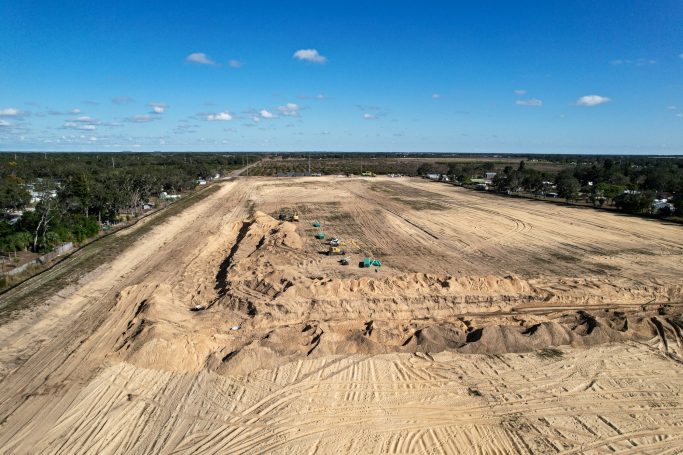
Construction progress photography in Florida gives owners, lenders and project teams a dated, unarguable visual record of a site from groundbreaking through closeout. One aerial pass a month replaces a folder of inconsistent phone photos and settles most schedule disputes before they start.
We fly the same flight path at the same altitudes on every visit, so images line up month over month and progress is genuinely comparable rather than approximate. That consistency is what makes the imagery useful in draw requests, owner updates, change order discussions and insurance documentation. We document sites across Orlando, Kissimmee, Lakeland, Ocala, Tampa, St. Petersburg, Sarasota, Fort Myers, Jacksonville, West Palm Beach, Fort Lauderdale and Miami.
Every flight is run by an FAA Part 107 licensed remote pilot on registered, insured aircraft, and where a site sits inside controlled airspace we secure authorization ahead of the visit. The same visit can add drone mapping and 3D modeling for volumes, or aerial videography for a project timelapse.
Need something other than a recurring program? Aerial construction photography covers single visits for bid packages, milestones and marketing stills. Construction site mapping covers orthomosaics, point clouds and earthwork volumes, which is data rather than pictures.
WHAT YOU GET
Monthly Progress Flights
A scheduled visit on a cadence that suits the program, from weekly during critical phases to monthly overall.
Repeatable Flight Paths
The same path and altitudes every visit, so this month sits directly against last month with no guesswork.
Files Inside 48 Hours
Edited imagery delivered within two business days, in time for the draw package or the owner meeting.
FAA Licensed and Insured
Part 107 certified pilots, registered aircraft and liability coverage, with certificates available for your risk team.
FLORIDA METRO COVERAGE
We monitor construction sites across Florida, from residential and commercial builds around Orlando, Kissimmee and Lakeland to Gulf Coast projects in Tampa, St. Petersburg, Sarasota and Fort Myers, and Atlantic and South Florida work from Jacksonville through West Palm Beach to Miami.
Central Florida
- Orlando, FL
- Kissimmee, FL
- Lakeland, FL
- Ocala, FL
- Melbourne, FL
- Daytona Beach, FL
- Lake County, FL
- Brevard County, FL
Gulf Coast
- Tampa, FL
- St. Petersburg, FL
- Clearwater, FL
- Sarasota, FL
- Bradenton, FL
- Fort Myers, FL
- Cape Coral, FL
- Naples, FL
Atlantic & South Florida
- Jacksonville, FL
- St. Augustine, FL
- Palm Coast, FL
- Port St. Lucie, FL
- West Palm Beach, FL
- Boca Raton, FL
- Fort Lauderdale, FL
- Miami, FL
Need construction progress documentation in Florida?
RECENT FLORIDA PROJECTS
Construction
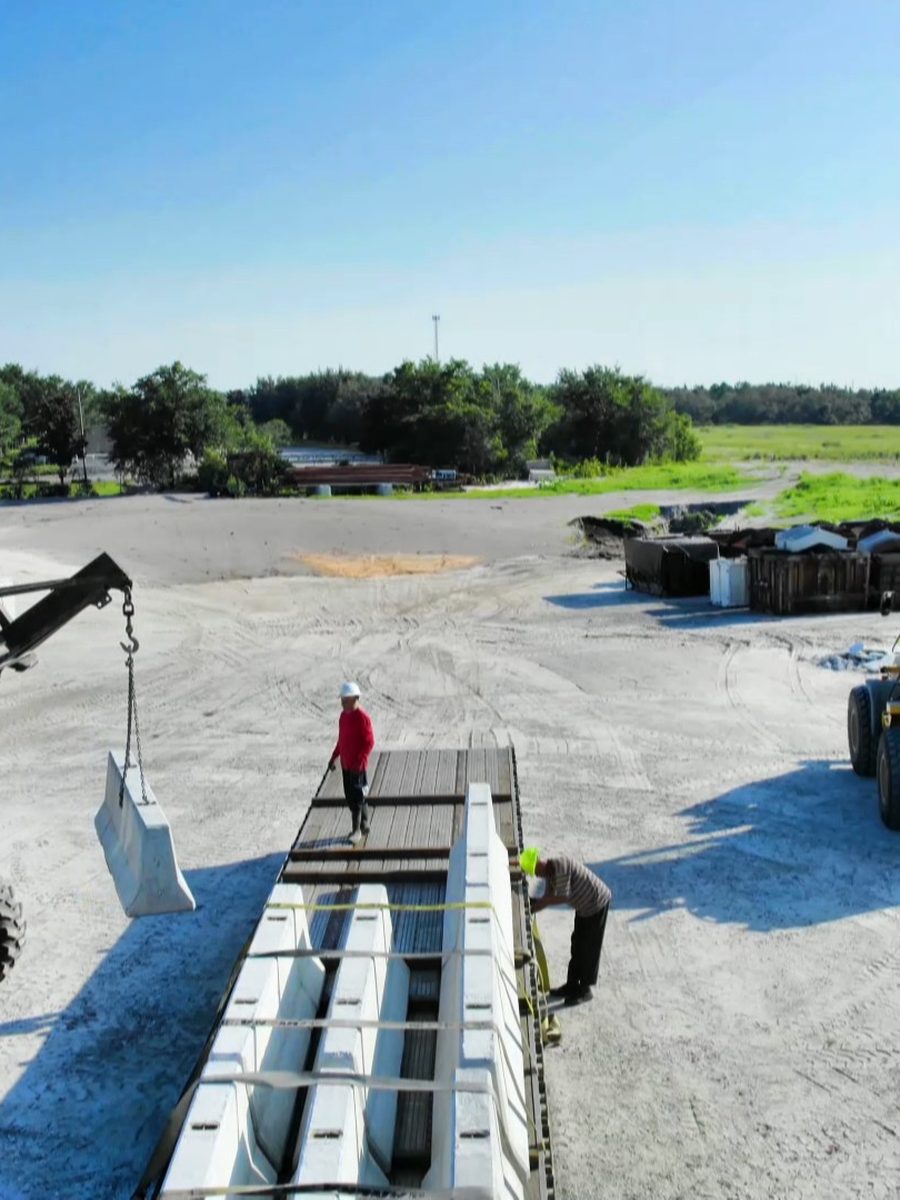
Site Progress
Construction
Groundworks
Infrastructure
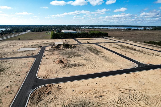
Road Progress
Equipment
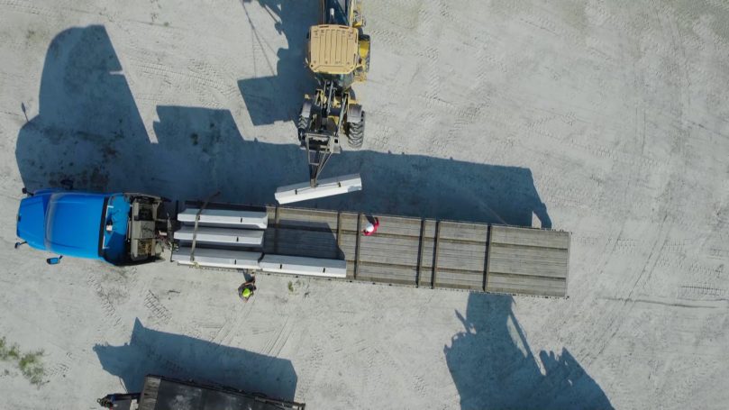
Equipment Movement
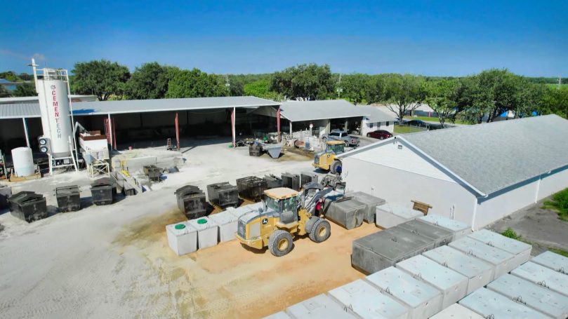
Development
Land Development
Frequently Asked Questions
Common questions on scheduling, flight frequency, deliverables and airspace. If your project has a specific reporting requirement, tell us what the lender or owner needs and we will build the capture around it.
Monthly suits most projects and lines up with draw cycles. Weekly or biweekly is worth it during fast moving phases such as steel erection or a large pour sequence. We can change frequency as the program changes.
Orlando, Kissimmee, Lakeland, Ocala, Melbourne and Daytona Beach across Central Florida. Tampa, St. Petersburg, Clearwater, Sarasota, Bradenton, Fort Myers, Cape Coral and Naples on the Gulf Coast. Jacksonville, St. Augustine, Port St. Lucie, West Palm Beach, Boca Raton, Fort Lauderdale and Miami on the Atlantic and South Florida corridors.
High resolution stills from fixed repeatable angles, a top down overview of the whole site and optional video. Files are named and dated so they drop straight into your project folder structure.
Yes. That is the point of the service. We save the flight plan and the camera positions and repeat them, so a side by side comparison is genuinely like for like.
We coordinate with your site safety lead, agree exclusion zones and plan flight lines that avoid flying directly over people. In most cases work continues normally during the flight.
Yes. The same visit can produce an orthomosaic, elevation model and stockpile volumes if you need measurable data alongside the visual record.
Yes. A dated, consistent aerial record is difficult to argue with, and it is far cheaper to have it and not need it than to need it and not have it. Many clients start the service specifically after a schedule dispute.
We reschedule at no charge. Florida afternoon storms are predictable enough that we usually shift the slot rather than lose the month, and we will always tell you before the visit rather than after.