

MANNED AERIAL PHOTOGRAPHY IN FLORIDA
Manned aerial photography in Florida covers the work a drone legally or practically cannot. Above 400 feet, across very large areas, over open water at distance, or inside airspace where drone operations are restricted, a crewed aircraft is the right tool.
Jason is a commercial pilot, so we can move between drone and manned aircraft on the same project without handing you to a second vendor. That matters when a job needs both a tight low level detail pass and a high altitude regional view. Typical work includes large land holdings, regional development context around Orlando, Tampa and Jacksonville, coastal and waterway documentation from Daytona Beach to Naples, corridor photography, and imagery of sites in Miami and Fort Lauderdale where drone flight is not permitted.
Drone flights alongside this work are run under FAA Part 107 rules on registered, insured aircraft. If your project sits within normal drone limits, our commercial aerial photography is usually the cheaper and closer option, and large ground areas are often better served by drone mapping and 3D modeling.
WHAT YOU GET
Above Drone Altitude
Imagery from altitudes a Part 107 drone cannot legally reach, for regional context and very large sites.
Wide Area Coverage
Thousands of acres, long corridors and coastline covered in a single sortie rather than many drone flights.
Restricted Airspace Access
A crewed aircraft can often work in airspace where drone operations are not authorized.
One Team, Both Platforms
Drone and manned capture on the same project, planned together, delivered together, billed together.
FLORIDA METRO COVERAGE
Manned aerial work covers the whole state, with the shortest positioning times over Central Florida and the Orlando, Kissimmee and Daytona Beach area. Regional and coastal sorties regularly cover Tampa, St. Petersburg, Sarasota, Fort Myers, Naples, Jacksonville, West Palm Beach, Fort Lauderdale and Miami.
Central Florida
- Orlando, FL
- Kissimmee, FL
- Lakeland, FL
- Ocala, FL
- Melbourne, FL
- Daytona Beach, FL
- Lake County, FL
- Brevard County, FL
Gulf Coast
- Tampa, FL
- St. Petersburg, FL
- Clearwater, FL
- Sarasota, FL
- Bradenton, FL
- Fort Myers, FL
- Cape Coral, FL
- Naples, FL
Atlantic & South Florida
- Jacksonville, FL
- St. Augustine, FL
- Palm Coast, FL
- Port St. Lucie, FL
- West Palm Beach, FL
- Boca Raton, FL
- Fort Lauderdale, FL
- Miami, FL
Need altitude a drone cannot legally reach?
RECENT FLORIDA PROJECTS
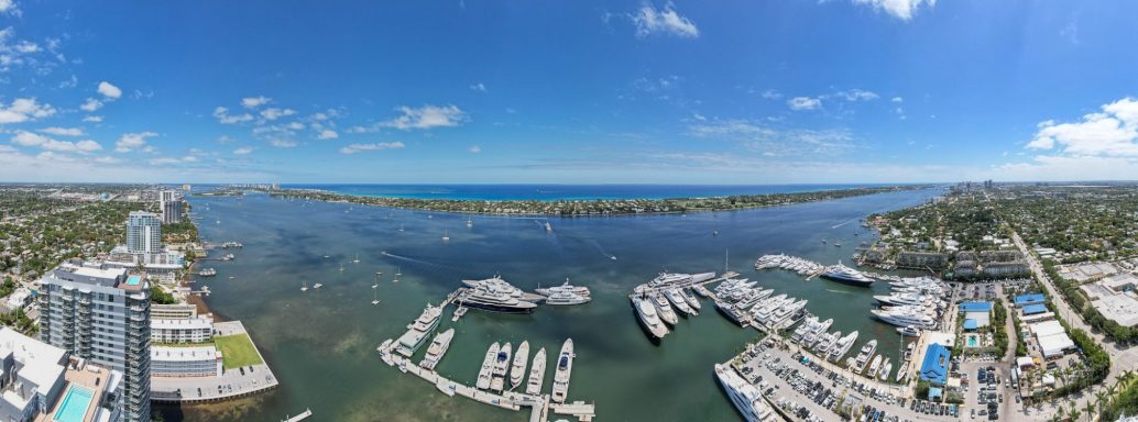
Coastal
Florida Coastline
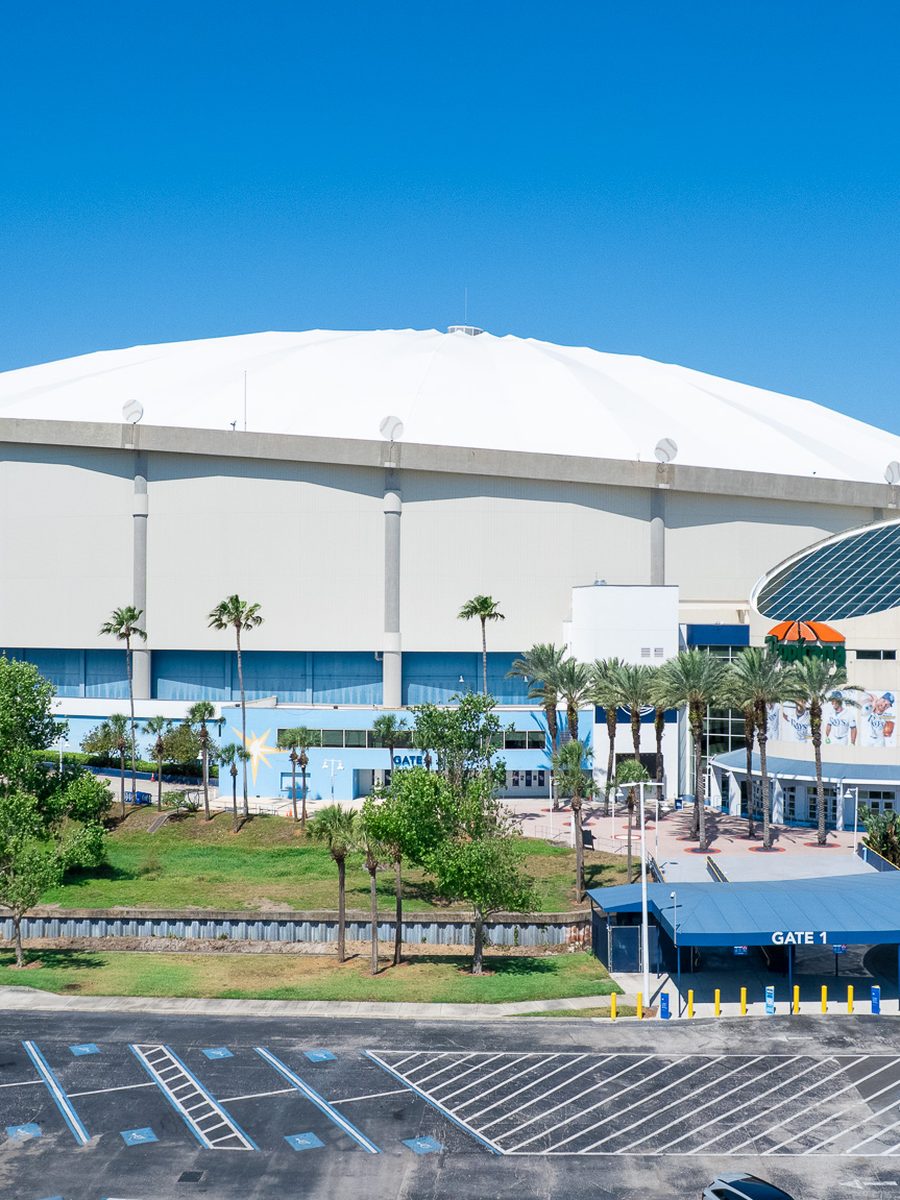
Venue
Stadium And Venue
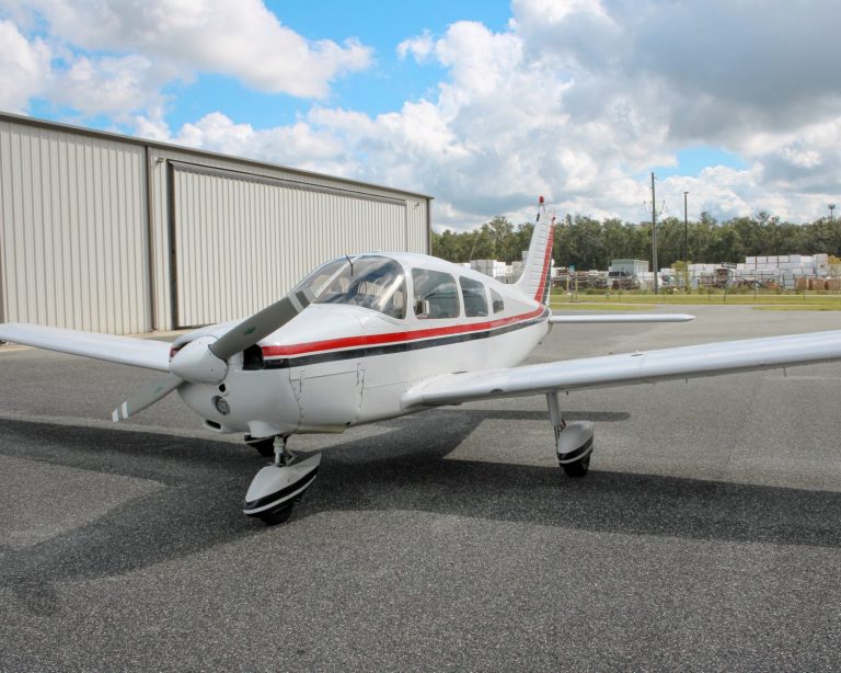
Aircraft
Manned Aerial Platform
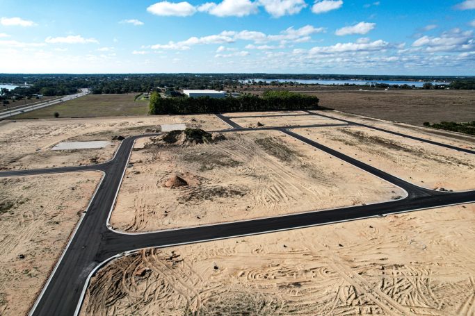
Development
Land Development
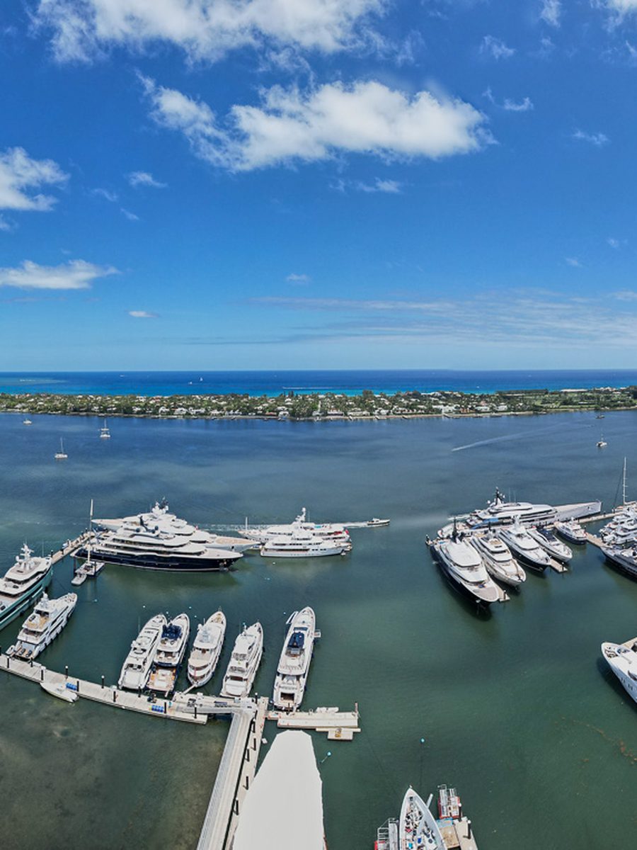
Waterfront
Marina And Waterfront
Frequently Asked Questions
Questions about when a crewed aircraft beats a drone, cost, scheduling and coverage. Describe the area and the altitude you need and we will tell you which platform is right.
When you need to be above 400 feet, when the area is too large for drone flights to be practical, when the subject is far offshore, or when the site sits in airspace where drone operations will not be authorized. For most other work a drone is cheaper and gets closer.
Orlando, Kissimmee, Lakeland, Ocala, Melbourne and Daytona Beach across Central Florida. Tampa, St. Petersburg, Clearwater, Sarasota, Bradenton, Fort Myers, Cape Coral and Naples on the Gulf Coast. Jacksonville, St. Augustine, Port St. Lucie, West Palm Beach, Boca Raton, Fort Lauderdale and Miami on the Atlantic and South Florida corridors.
More, because aircraft and crew time cost more. It is quoted per sortie including positioning time. For large areas the cost per acre often ends up lower than flying many separate drone missions.
More lead time than a drone shoot. Aircraft availability, crew scheduling and weather windows all need to line up, so a week or more is sensible. Tell us your deadline and we will tell you honestly if it is achievable.
It depends on the subject and the coverage you need, from a few hundred feet for detailed site work up to several thousand for regional context. We plan altitude around the frame you actually want.
Yes, and it is often the best answer. High altitude context from the aircraft, tight detail from the drone, delivered as one consistent set.
Differently. Aircraft handle wind better than a drone but need better visibility and cloud base. Florida haze and low cloud are the usual reasons to move a flight.
High resolution edited stills, and video where the project calls for it. Same delivery standard and same usage rights as our drone work.