
Construction Progress Monitoring in Orlando, FL

CONSTRUCTION PROGRESS MONITORING IN ORLANDO
Construction progress monitoring in Orlando is mostly a lender and owner problem rather than a marketing one. Draw packages need dated evidence, owner meetings need a picture everyone agrees on, and change order conversations go very differently when there is an unarguable aerial record of what the site looked like on the fifteenth of last month.
Orlando industrial has been the strongest sector in the market, with roughly two million square feet of positive absorption in a single quarter and record rents, which means a lot of large floor plate builds along the I-4 corridor. Those are exactly the sites where a walk around with a phone stops working, because you physically cannot get high enough to see the whole slab.
The complication here is airspace. Most Orlando sites sit under Orlando International Class B, Orlando Executive Class D, Orlando Sanford Class C or the Kissimmee Gateway Class D to the south. A monthly flight schedule means clearing that repeatedly, which we handle as part of the retainer rather than as a per visit surprise. Every flight is run by an FAA Part 107 licensed remote pilot on registered, insured aircraft.
HOW AN ORLANDO PROGRAM RUNS
Scheduled To Your Draw Cycle
Flights timed to land before the draw package deadline rather than whenever the month happens to end.
Same Path Every Visit
Saved flight plan, same altitudes, same camera positions, so this month sits directly against last month.
Airspace Cleared Each Time
Class B and Class D authorization filed ahead of every visit as part of the schedule, not billed as an extra.
Files Inside 48 Hours
Named and dated imagery delivered within two business days, ready to drop into the project folder.
ORLANDO AREA SITES WE COVER
We document builds across Orange, Seminole and Osceola counties, with a lot of the work along the I-4 industrial corridor. Sites inside Class B or a Class D surface area need authorization on every visit, which is included in the program.
Orlando Metro
- Downtown Orlando
- Lake Nona
- Horizon West
- Winter Garden
- Apopka
- Ocoee
- Pine Hills
- Taft
I-4 Corridor
- Sanford
- Lake Mary
- Longwood
- Altamonte Springs
- Maitland
- Winter Park
- Clermont
- Groveland
South Metro
- Kissimmee
- St. Cloud
- Poinciana
- Celebration
- Hunters Creek
- Meadow Woods
- Narcoossee
- Davenport
Starting a build in Orlando this quarter?
RECENT FLORIDA PROJECTS
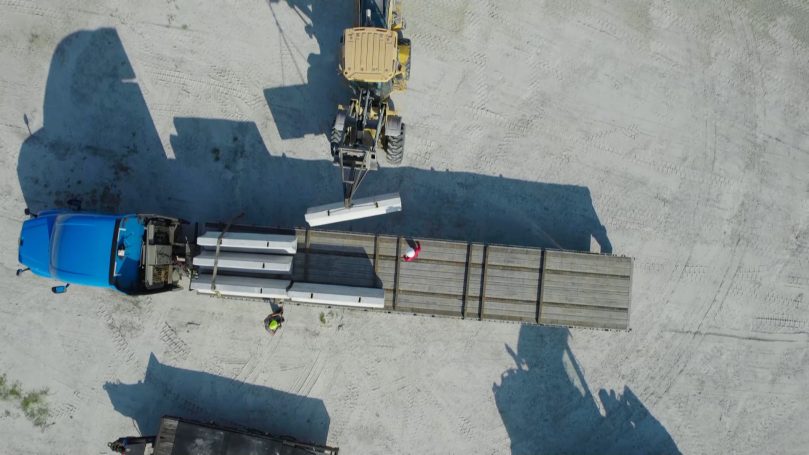
Construction
Site Progress
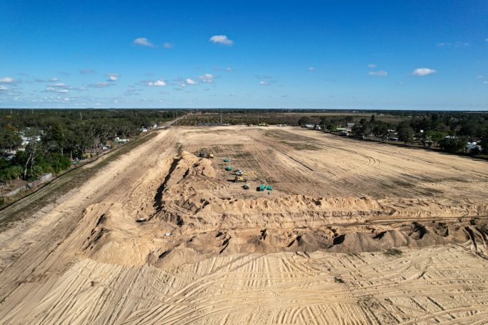
Construction
Groundworks
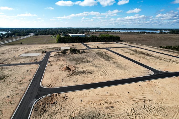
Infrastructure
Road Progress
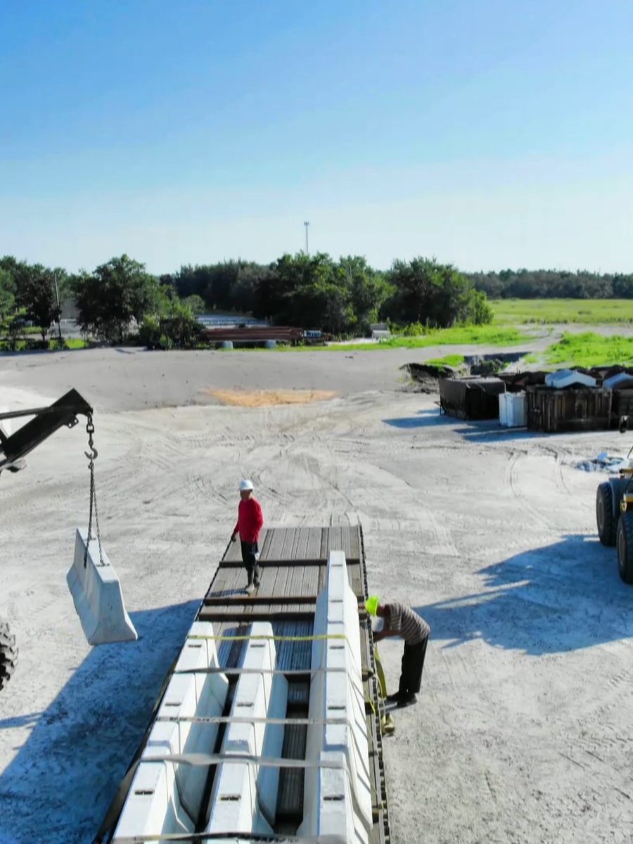
Equipment
Equipment Movement
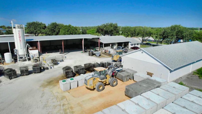
Development
Land Development
Frequently Asked Questions
Questions about scheduling, deliverables, airspace and what a monthly program costs in Orlando. Tell us what the lender or owner needs and we will build the capture around it.
Monthly suits most projects and lines up with draw cycles. Weekly or biweekly earns its keep during fast phases such as steel erection or a large pour sequence. We can change frequency as the program moves and we do not lock you into a fixed count.
It adds an authorization step, not a barrier. Most Orlando sites sit under Orlando International Class B or one of the surrounding Class D and Class C surface areas. We file for each visit as part of the schedule. It is included in the program price rather than appearing as a line item.
High resolution stills from fixed repeatable angles, a top down overview of the whole site, and optional video. Files are named and dated so they drop straight into your existing project folder structure without renaming.
We coordinate with your site safety lead, agree exclusion zones and plan flight lines that avoid flying directly over people. In most cases work continues normally during the flight.
Yes. An orthomosaic, elevation model and stockpile volumes can come from the same flight. See our drone mapping and 3D modeling page for the deliverable formats.
That is often why clients start. A dated, consistent aerial record is difficult to argue with, and it is far cheaper to have it and not need it than to need it and not have it. Several of our programs began the month after a schedule dispute.
We reschedule at no charge. Central Florida afternoon storms are predictable enough that we normally shift the slot rather than lose the month, and we tell you before the visit rather than after.
Priced per visit, and cheaper on a schedule than booked one at a time. The statewide service detail is on our construction progress monitoring page, and the wider metro service list is on our Orlando drone services page.