
Real Estate Drone Photography in Naples, FL

REAL ESTATE DRONE PHOTOGRAPHY IN NAPLES
Real estate drone photography in Naples serves the highest value residential market in the state, and at this end the marketing is competing against every other seven and eight figure listing in Collier County. What separates them is rarely the interiors. It is whether the buyer can see the Gulf orientation, the fairway position, the canal run and the beach walk without getting in a car.
Two constraints shape the work here and most operators only know about one. Naples Municipal holds Class D airspace, but the tower runs 0600 to 2200, which makes the surface area part time and changes what authorization is required depending on when you fly. The second constraint does not appear on any airspace map at all: the National Park Service prohibits launching, landing or operating uncrewed aircraft in Everglades National Park and Big Cypress National Preserve, and the nearby federal wildlife refuges carry their own prohibition. Consumer drone apps will not warn you about either. We check those boundaries separately against the exact coordinates.
Every flight is run by an FAA Part 107 licensed remote pilot on registered, insured aircraft. Estate listings are usually shot with aerial video alongside stills, and twilight is scheduled rather than offered as an extra.
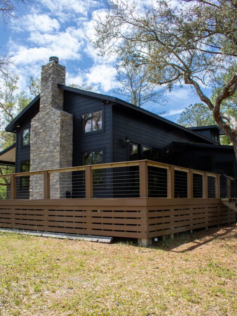
NAPLES LISTINGS WE SHOOT
Gulf and Canal Estates
Port Royal, Aqualane Shores and Park Shore properties shot to show beach walk, dock position and the run to open water.
Golf Community Listings
Fairway position, hole orientation and clubhouse proximity framed in one shot, which is what a golf buyer is actually assessing.
Estate Listing Video
Cinematic reveals and walkthroughs for high value listings, delivered with licensed music and vertical cuts for social.
Boundary Aware Flying
Park and refuge limits checked against the exact coordinates, not against an app that does not carry those boundaries.
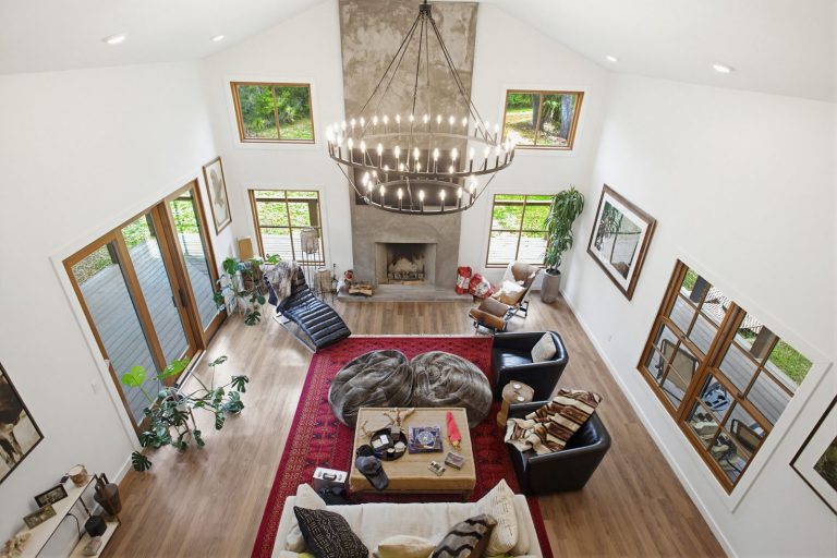
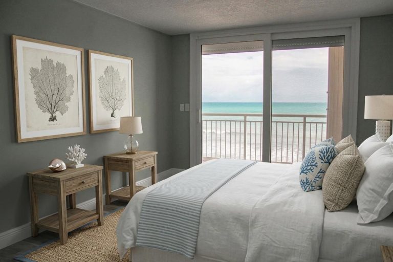
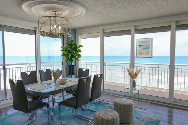
INSIDE NAPLES HOMES, TOO
Naples buyers expect the marketing to match the price.
For estates in Port Royal, Pelican Bay and Old Naples, we pair the aerials with detailed home photography, cinematic video, and 360° and 180° photography that lets a buyer anywhere in the world look around the home on their own schedule.
It all happens on one visit and delivers as one consistent set. Ask how we can build a complete package for your next Naples listing.
NAPLES AREAS WE COVER
We cover Collier County and the Bonita and Estero corridor to the north. Coastal wind sets the flight window, and park and refuge boundaries east and southeast of the city are a real constraint, so we confirm the exact coordinates before agreeing a date.
Naples Waterfront
- Port Royal
- Aqualane Shores
- Old Naples
- Park Shore
- Moorings
- Coquina Sands
- Vanderbilt Beach
- Pelican Bay
Collier County
- North Naples
- Pelican Marsh
- Grey Oaks
- Lely Resort
- Golden Gate
- Marco Island
- Isles of Capri
- Ave Maria
North Corridor
- Bonita Springs
- Estero
- Miromar Lakes
- Barefoot Beach
- Bonita Bay
- Coconut Point
- Bonita Beach
- San Carlos Park
Marketing a Naples estate listing?
RECENT FLORIDA PROJECTS
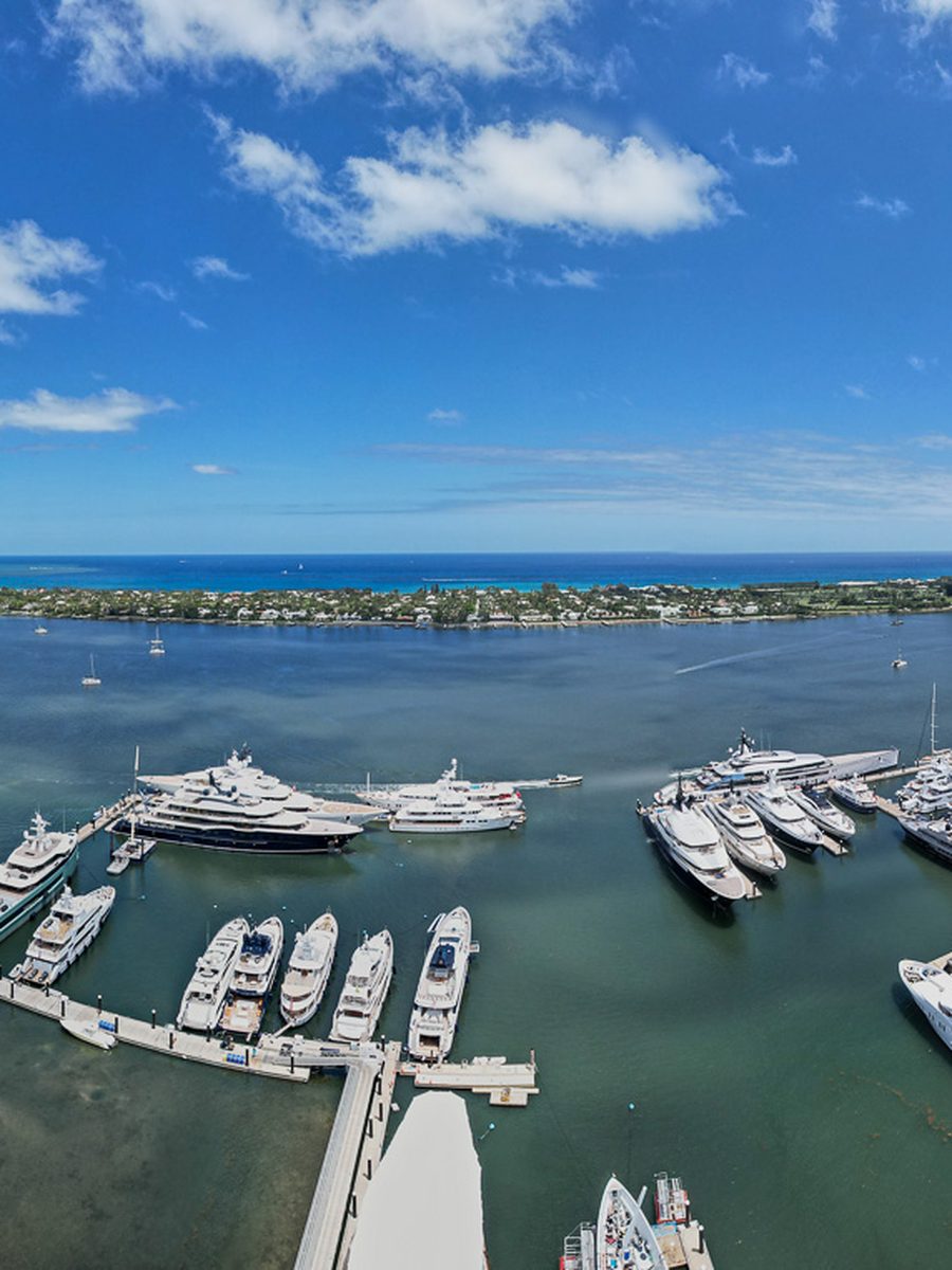
Waterfront
Marina And Waterfront
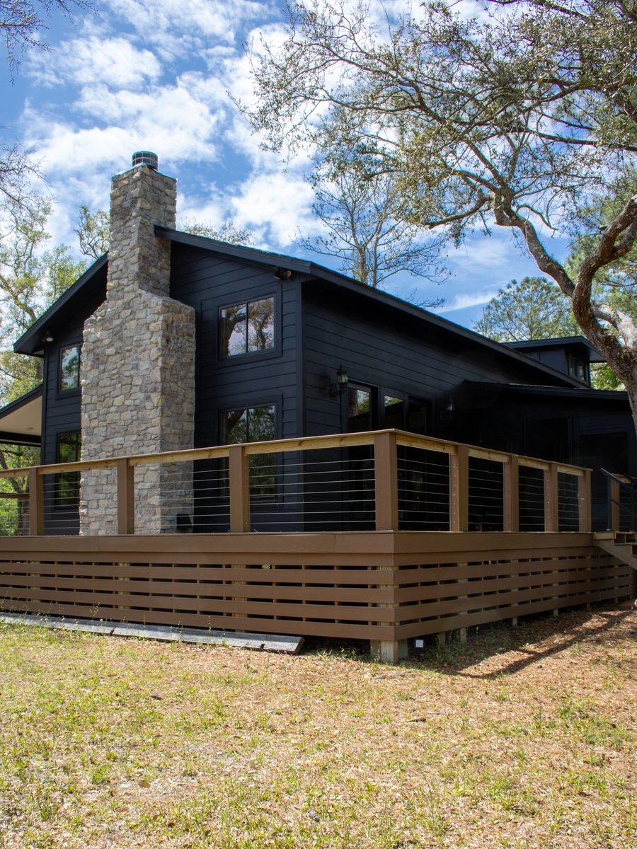
Real Estate
Property Exterior
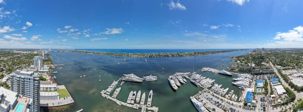
Coastal
Florida Coastline
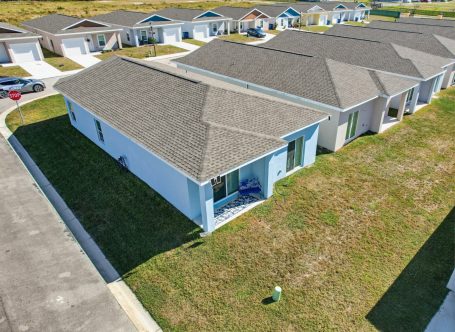
Residential
Residential Aerial
Land
Land And Acreage
Frequently Asked Questions
Questions about Naples airspace, park and refuge limits, estate listing coverage and scheduling. Send the address and we will confirm what is flyable.
Yes. Naples Municipal holds Class D airspace, though the tower operates 0600 to 2200 so the surface area is part time and the authorization requirement shifts with the hour. We check the current chart supplement and file in advance where it is needed.
Yes, and they are the ones that catch people out because they never appear on an airspace map. The National Park Service prohibits launching, landing or operating drones in Everglades National Park and Big Cypress National Preserve, and the federal wildlife refuges nearby carry their own prohibition. These are land use rules rather than airspace rules, so B4UFly and the DJI app will not flag them. We check them separately.
Yes, mostly in time on site. Estate listings get more setups, twilight coverage and video as well as stills, because the marketing has to compete with every other high value listing in Collier County rather than just look tidy.
It is the main scheduling variable. Gulf front listings are often clean at sunrise and marginal by afternoon. We book the calm window and reschedule at no charge rather than deliver soft footage.
We are based in Sebring, about two and a half hours north. It is our longest regular run, so we ask for a little more notice on Naples bookings and often pair them with a Fort Myers or Bonita stop on the same trip to keep the cost sensible.
A standard listing is a flat fee based on property size and deliverables. Estate listings with twilight and video are quoted per project. Multi property bookings on one trip are cheaper per address.
Yes, along with Grey Oaks, Pelican Marsh, Lely, Vanderbilt Beach and the rest of Collier County. Our Naples drone services page covers the wider service list.
Yes. FAA Part 107 certified remote pilots, registered aircraft and liability coverage, with certificates available to your brokerage. Full service detail on our real estate drone photography page.