
Real Estate Drone Photography in Tampa, FL

REAL ESTATE DRONE PHOTOGRAPHY IN TAMPA
Real estate drone photography in Tampa is worth more than in most Florida markets because so much of the value here is waterfront, and waterfront is the one thing a ground camera genuinely cannot photograph. Davis Islands, Harbour Island, Beach Park, Culbreath Isles and the Bayshore corridor all trade on water position, dock access and the view line, and all of it lives above eye level.
The airspace here is the tightest in the region and it is worth understanding before you book anyone. Tampa International generates Class B that reaches the surface across a wide area, so most of the city needs authorization rather than none of it. Then there is South Tampa: MacDill Air Force Base holds its own Class D entirely inside that Class B and publishes a standing no drone zone policy for the installation. A Davis Islands or Ballast Point listing therefore sits in a genuinely layered piece of airspace.
We resolve that before the shoot rather than discovering it on the driveway. Authorization is filed ahead of the visit, and if an address will not work we say so while you can still plan around it. Every flight is run by an FAA Part 107 licensed remote pilot on registered, insured aircraft.
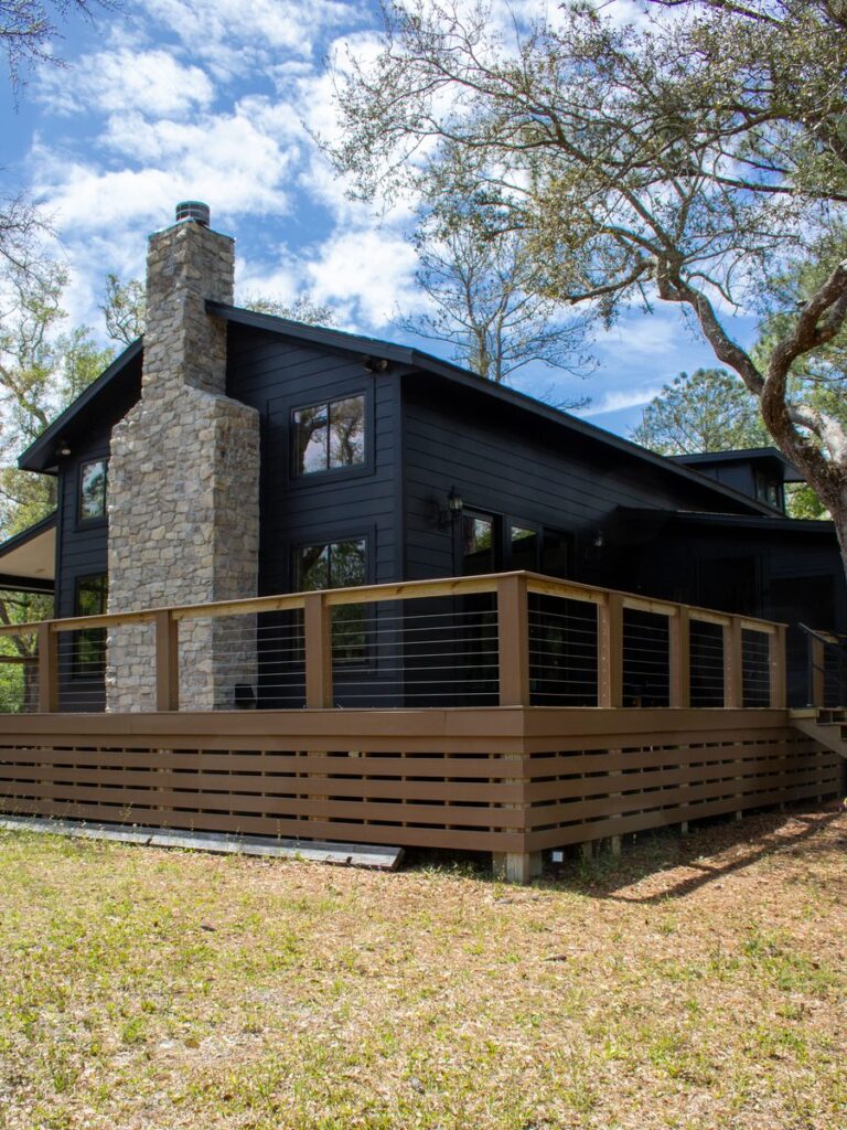
TAMPA LISTINGS WE SHOOT
Bayfront and Island Listings
Davis Islands, Harbour Island and Beach Park properties shot to show dock, seawall and the real distance to open water.
South Tampa Residential
Bayshore, Palma Ceia and Hyde Park listings, with the MacDill airspace question settled before the booking rather than after.
Suburban and New Build
Wesley Chapel, Lutz, Riverview and Apollo Beach communities where the amenity and lot position is the story.
24 to 48 Hour Delivery
Edited stills back inside one to two business days, sized for MLS, Zillow, print and social with full marketing rights.
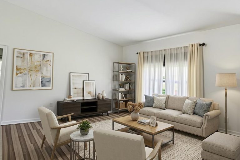
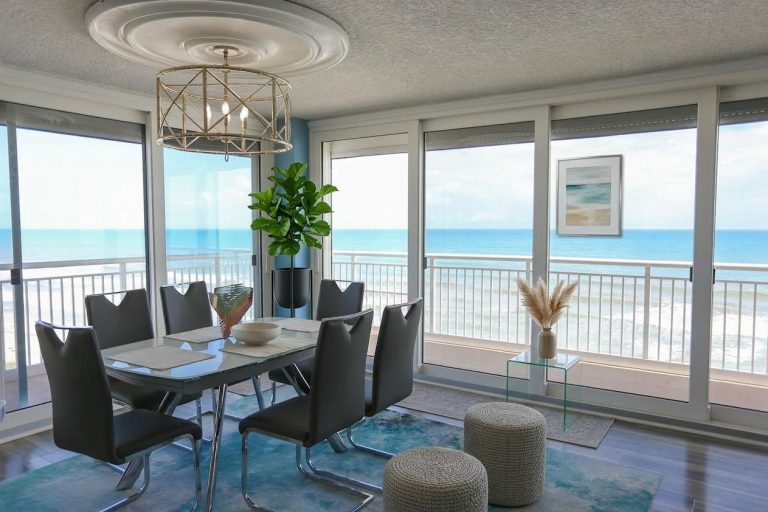
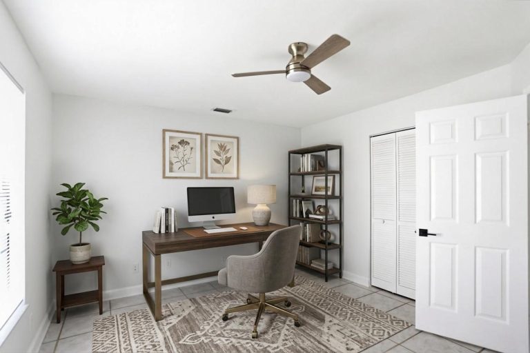
INSIDE TAMPA HOMES, TOO
Tampa listings compete hard. The aerial shows off the neighborhood and the water, and the interiors are what close the deal. We shoot both.
On top of drone photography, we capture home photography inside and out, video, and 360° and 180° photos on the same visit, so every image in the gallery looks like it belongs to the same home.
If your next Tampa listing deserves more than a view from above, let’s talk about a full package.
TAMPA NEIGHBORHOODS WE COVER
We shoot across Hillsborough County. South Tampa and the airport corridor need authorization filed ahead of the visit and a handful of addresses near MacDill will not work at all. Send us the address and we will tell you which category it falls into before you commit.
South Tampa
- Davis Islands
- Harbour Island
- Bayshore Beautiful
- Hyde Park
- Palma Ceia
- Beach Park
- Culbreath Isles
- Ballast Point
Central and North
- Downtown Tampa
- Channelside
- Seminole Heights
- Tampa Heights
- Carrollwood
- New Tampa
- Temple Terrace
- Lutz
East and South
- Brandon
- Riverview
- Apollo Beach
- Valrico
- FishHawk
- Ruskin
- Plant City
- Wesley Chapel
Have a Tampa listing that needs to move?
RECENT FLORIDA PROJECTS
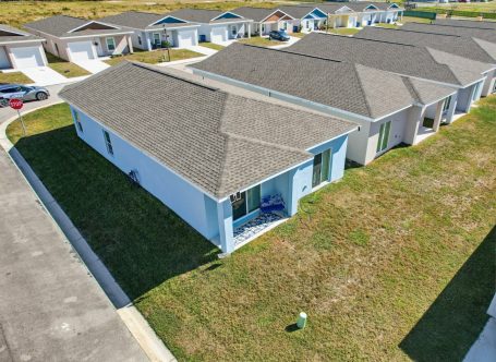
Residential
Residential Aerial
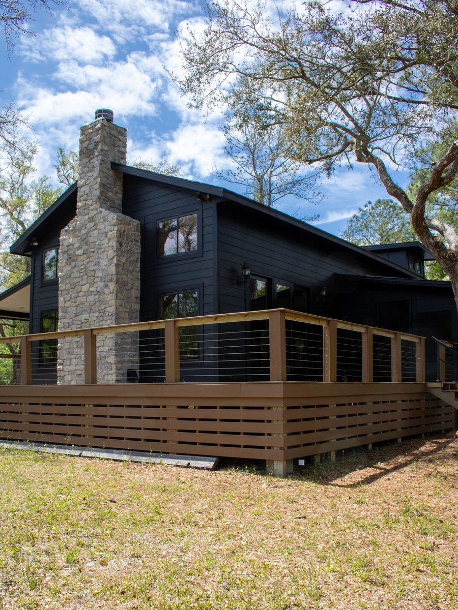
Real Estate
Property Exterior
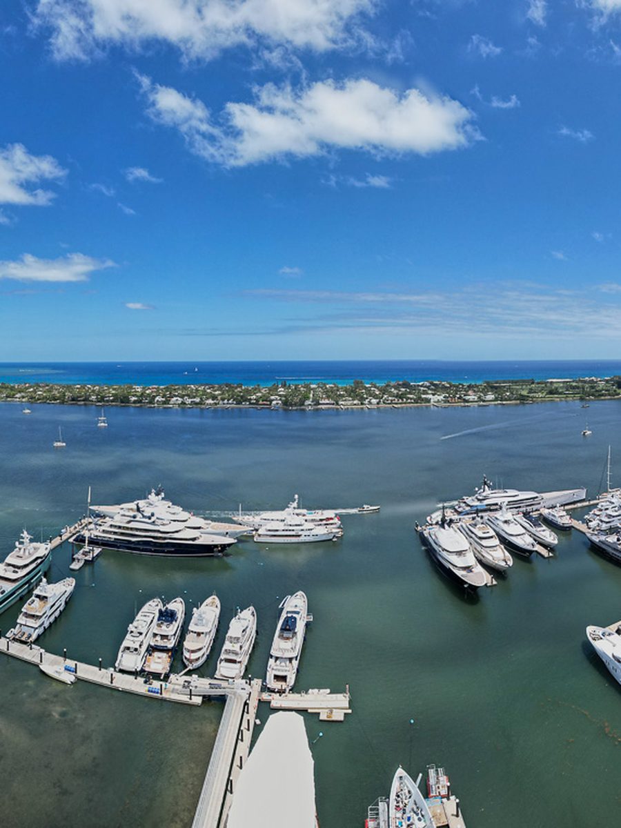
Waterfront
Marina And Waterfront
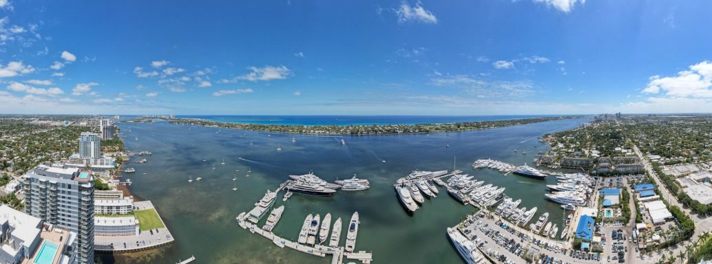
Coastal
Florida Coastline
Land
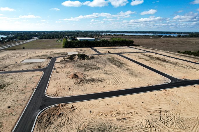
Land And Acreage
Frequently Asked Questions
Questions about Tampa airspace, waterfront shoots, turnaround and cost. Send the address and we will confirm what is flyable before you book.
In most cases yes, with authorization. Tampa International Class B reaches the surface across much of the city, so nearly every address needs an authorization filed in advance. MacDill Air Force Base also holds Class D inside that Class B and is a designated no drone zone under base policy, so addresses closest to the installation are assessed individually. We will tell you plainly if one will not work.
No, and it is the single biggest source of bad advice in this market. That guidance predates current Part 107 procedure. What matters is the airspace class over the specific address and the altitude the FAA facility map permits there, which is what we actually check.
Yes, and it is a large share of the work here. Dock position, seawall condition, canal routing and the actual view line are the things a buyer at that price point is assessing, and none of them photograph from the ground.
Edited stills within 24 to 48 hours as standard. Tell us the go live date when you book and we will work to it.
A standard residential listing is a flat fee based on size and deliverables. Waterfront estates and commercial listings are quoted per project. Airspace authorization is included rather than billed separately.
Yes, along with Apollo Beach, Valrico, FishHawk, Lutz, Carrollwood, New Tampa and the rest of Hillsborough County. Our Tampa drone services page covers commercial and industrial work.
Yes. Aerial video is booked with the same visit and delivered with vertical cuts for social. Higher value listings usually warrant both.
Yes. FAA Part 107 certified remote pilots, registered aircraft and liability coverage, with certificates available to your brokerage. Full service detail is on our real estate drone photography page.