

DRONE SERVICES IN FORT MYERS
Drone services in Fort Myers are shaped by two forces at once: a population that has grown more than twenty percent in a decade, and a rebuild that is still running years after Ian, Helene and Milton. Between them they produce a constant stream of work that needs documenting from the air, from beachside hospitality reconstruction to hospital expansion to workforce housing. On the residential side, our aerial real estate photography in Fort Myers shows buyers the canal route to open water that a ground photo cannot.
The airspace is manageable. Southwest Florida International is Class C and Page Field holds Class D closer in, and both support authorization requests filed ahead of the visit. The restriction that catches people out here is not airspace at all. The national wildlife refuges, J.N. Ding Darling on Sanibel among them, prohibit launching, landing or disturbing wildlife by drone under federal refuge rules. That does not appear on airspace maps and the consumer apps will not warn you, so we check refuge boundaries separately.
Sebring is about two hours northeast. Most work here is construction progress monitoring on a monthly schedule, with drone inspections for roof and structure assessment where storm damage is still being worked through.
WHAT WE FLY IN FORT MYERS
Construction Progress
Repeatable monthly flights on hospitality, healthcare and housing builds, delivered inside 48 hours.
Storm and Rebuild Records
Dated aerial documentation for insurance, adjusters and recovery reporting, prioritized after an event.
Coastal and Waterfront
Canal, river and Gulf front property shown with the water access that actually drives the price.
Roof and Structure Review
Close range imagery of roofs and hard to reach elements without scaffolding, a lift or a rope team.
AREAS WE COVER AROUND FORT MYERS
We cover Lee County and the surrounding southwest coast. Refuge and park boundaries matter as much as airspace here, so we check both against the exact coordinates before confirming a date.
Fort Myers
- Downtown Fort Myers
- McGregor
- Gateway
- Iona
- Whiskey Creek
- Villas
- San Carlos Park
- Buckingham
Lee County
- Cape Coral
- North Fort Myers
- Lehigh Acres
- Estero
- Bonita Springs
- Alva
- Burnt Store
- Pine Island
Coast and Islands
- Fort Myers Beach
- Sanibel
- Captiva
- Bonita Beach
- Matlacha
- St. James City
- Bokeelia
- Punta Rassa
Need a drone over a Fort Myers site?
RECENT FLORIDA PROJECTS
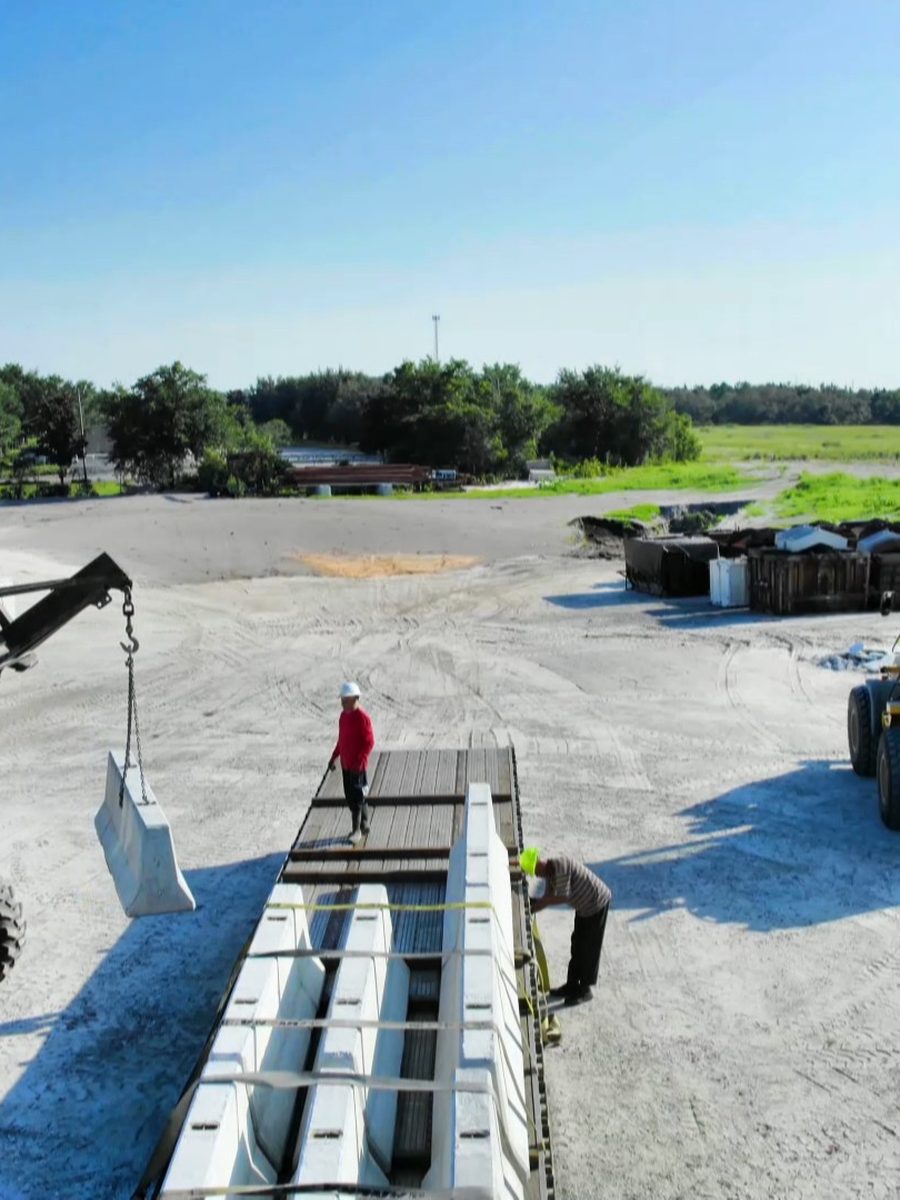
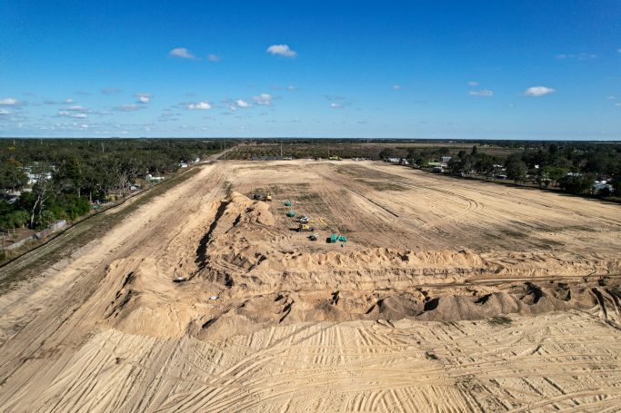
Construction
Site Progress
Construction
Groundworks
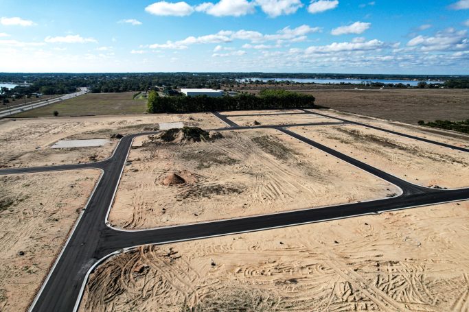
Infrastructure
Road Progress
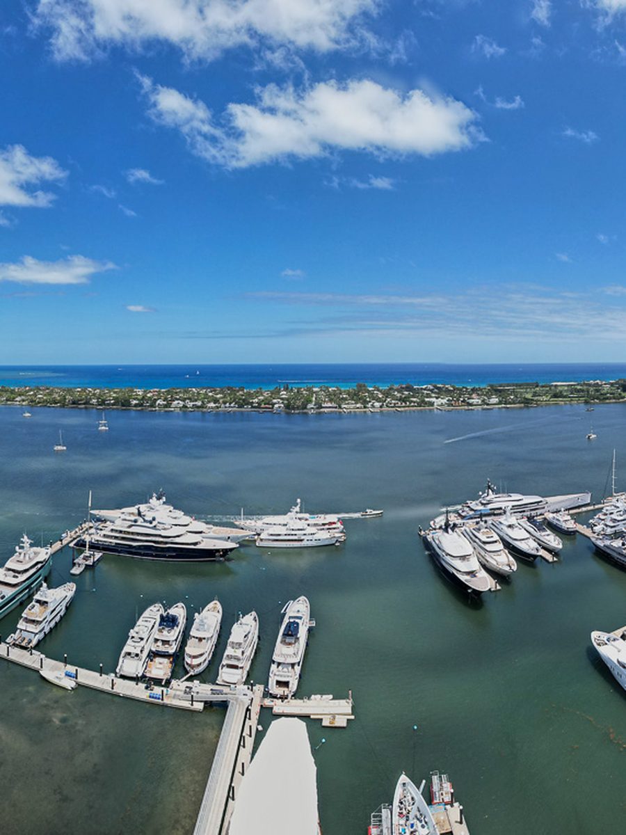
Waterfront
Marina And Waterfront
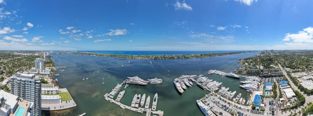
Coastal
Florida Coastline
Frequently Asked Questions
Questions about Lee County airspace, refuge rules, storm documentation and turnaround. Send us the address and we will check both the airspace and the refuge boundaries.
Yes. Southwest Florida International is Class C and Page Field is Class D, and both support authorization requests filed ahead of the visit. Most of Lee County is workable with that in place.
Not over the refuges themselves. National wildlife refuges including J.N. Ding Darling prohibit launching, landing or disturbing wildlife by drone under federal refuge regulations. That is a land use rule rather than an airspace one, so it does not show on airspace maps and consumer apps will not flag it. We check refuge boundaries separately and will tell you before you book.
Yes, and it is prioritized. Rapid dated aerial imagery across an affected property or portfolio supports adjusters, engineers and recovery claims, and it is far easier to get before the repairs start than after. Availability immediately after a major event is first come, so an arrangement in place before the season is worth having.
Sebring is about two hours northeast, straight down through the middle of the state. No coastal detour and no out of market travel charge.
Yes, along with North Fort Myers, Lehigh Acres, Fort Myers Beach, Pine Island and the rest of Lee County.
Yes. We save the flight path and repeat the same altitudes and angles on every visit, so this month sits directly against last month. That is what makes the imagery useful in a draw package rather than just nice to look at.
A single site is a flat fee based on size and deliverables. Recurring construction flights are priced per visit on a schedule and work out cheaper than booking them one at a time.
Yes. FAA Part 107 certified remote pilots on registered aircraft, with liability coverage and certificates supplied to your safety or risk team before the first visit.